


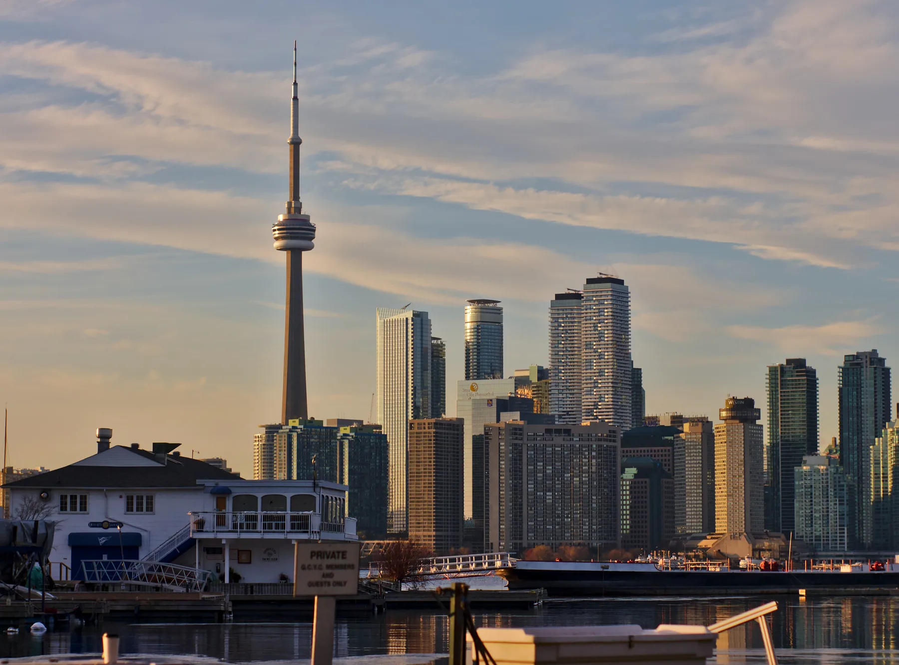
- Address
- Toronto Islands, Toronto, ON
A group of car-free islands reached by ferry or water taxi from downtown Toronto. This Place page gives you the exact address, an individual Google map and the current official source to check before you go.
Map and exact location
Address: Toronto Islands, Toronto, ON
What to know before you go
Use the map for this exact place. Do not treat it as a combined map for other venues in the same article. If the destination covers a large park or district, the pin helps you find the named place, but you should still choose the entrance that fits your plan.
Check the official Park page for current hours, closures, ticket rules, booking needs and accessibility details. These details can change after this page was checked on 2026-08-26.
Our quick take
A group of car-free islands reached by ferry or water taxi from downtown Toronto. It is worth adding to a plan when that specific use matches what you need. Do not travel only because a list named it. Check the practical details first.
Frequently asked questions
Where is Toronto Islands?
Toronto Islands is at Toronto Islands, Toronto, ON.
Does this page have a map just for Toronto Islands?
Yes. The Google map above is for this exact place. It is not a combined map for several venues.
Where should I check current hours?
Use the official website linked on this page. Hours, closures and event access can change.
Should I book before visiting?
Check the official page before travelling. Cinemas, attractions, classes, restaurants and ticketed venues may need advance booking, while parks and stores often do not.
When was the location checked?
The address and official source were checked on August 26, 2026. Confirm the details again on the day of your visit.