


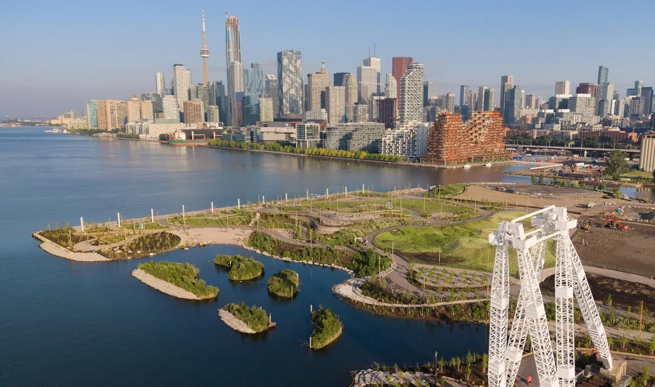
Start on the east side of Biidaasige Park if you're bringing children. Choose the west side for a skyline walk and public art. Trying to cover the whole park on a hot afternoon is the weaker plan. The young trees still offer limited shade.
Our pick is a short visit with one clear aim: play, a picnic or the waterfront. Add more if everyone has the energy. The new western section is open, so you no longer need to stop at Cherry Street.
Three visits that fit the park better
| Time available | Plan | Skip |
|---|---|---|
| 45 minutes | Start at 238 Cherry Street, walk the western waterfront and turn back after the skyline view | The full art trail |
| 90 minutes with children | Start at Old Fire Hall 30, use the east playgrounds and finish with a washroom stop | Crossing the whole park in midday heat |
| Half a day | Begin east, follow selected art stops west and bring a picnic | Counting on mature shade or a quick food stop inside the park |
The park is large enough that a single meeting pin can split a group. Send the exact entrance and the first feature you will meet at.
In this guide
- Pick the right entrance
- The east side is the best choice for children
- Head west for the skyline, Canoe Cove and the Atlas Crane
- Use the art trail as a route, not a checklist
- Shade is the park's biggest weakness
- Washrooms, drinking water and picnic tables
- Getting there without a car is the better starting plan
- Dogs, paddling and the natural river landscape
- What is still coming?
- Frequently asked questions
Pick the right entrance
| Your plan | Best starting point | What to expect |
|---|---|---|
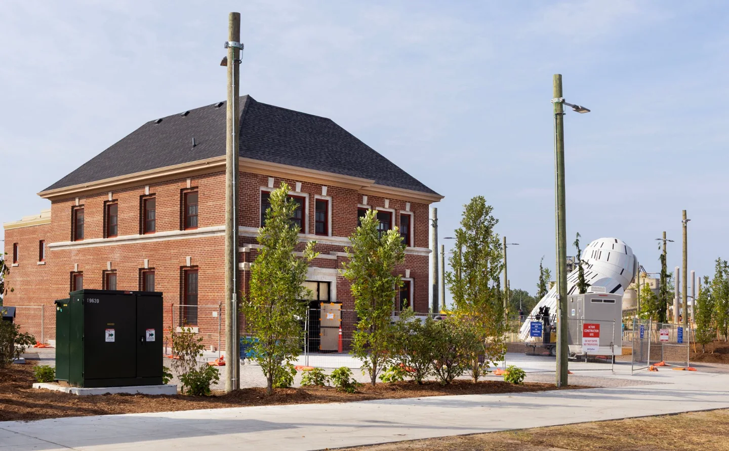
| Playground and a washroom stop | Old Fire Hall 30, 39 Commissioners Street | A practical base for the eastern play areas |
| Skyline photos and the western waterfront | 238 Cherry Street | Access towards Canoe Cove and the promenade |
| A longer art walk | Either side, with the art map saved | Several stops spread across the park |
These are the entrances listed in the City's arrival guide. Don't send everyone to a general park pin without deciding which side you need.
These maps show meeting points, not the park's exact boundary. Save the Lassonde Art Trail map for the wider layout. Follow its north arrow. A map mounted in the park may face the direction you're looking rather than north.
The east side is the best choice for children
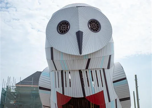
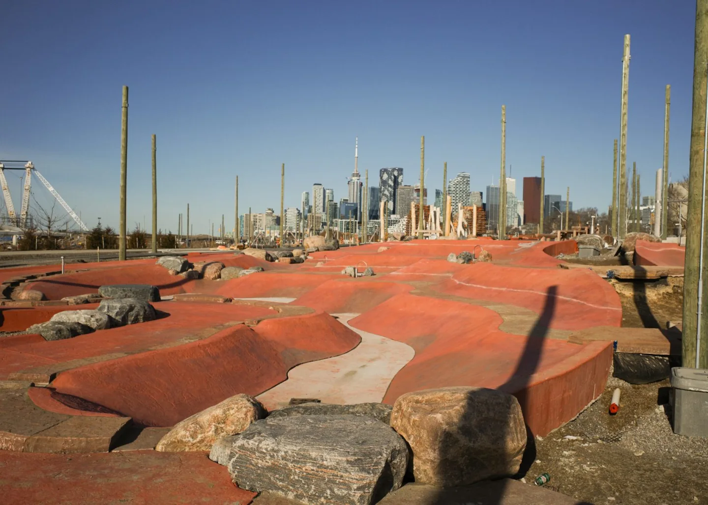
The Snowy Owl, animal play structures, ziplines and Badlands Scramble give children several different ways to play. The Badlands has pumps and sloping surfaces for water play. Pack shoes with grip, spare clothes and a bag for wet things. A dry-looking arrival can turn into a muddy ride home.
The park's opening guide also identifies trails, birdwatching areas and river access. You don't need to turn a playground visit into a full park circuit.
The Reaching Raccoon is a separate climbing stop. Children can move through logs, steps and ropes inside the structure, then use the slide. Its maker, Earthscape, describes a transfer bench and different ways into the play space. That doesn't mean every climbing route suits every child.
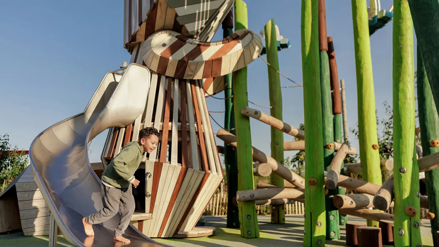
Let the first play area set the pace. If the children are happy there, stay. The waterfront can wait for another visit.
Head west for the skyline, Canoe Cove and the Atlas Crane
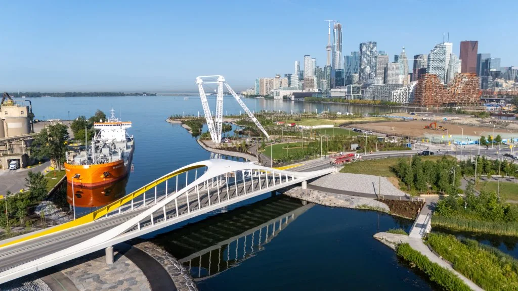
The western extension opened on July 24, 2026. It added 10 acres, bringing the open parkland to roughly 60 acres. Its main draws are Canoe Cove, a large event lawn, more than 250 metres of waterfront promenade and a raised viewpoint across the harbour.
The Atlas Crane gives this part of the park a clear link to its working waterfront past. It was installed in 1961. Enjoy it from the paths. It isn't playground equipment.
For a first visit without children, this is our preferred section. The skyline gives the walk a clear destination, and you can turn back without committing to the entire art trail. Check the western expansion announcement if an older guide tells you this area hasn't opened.
Choose this side for an outdoor date when the weather is comfortable. Our Toronto summer date ideas offer other ways to build out the day.
Use the art trail as a route, not a checklist
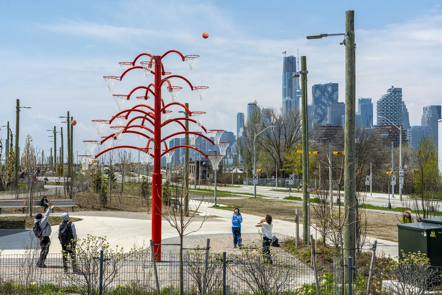
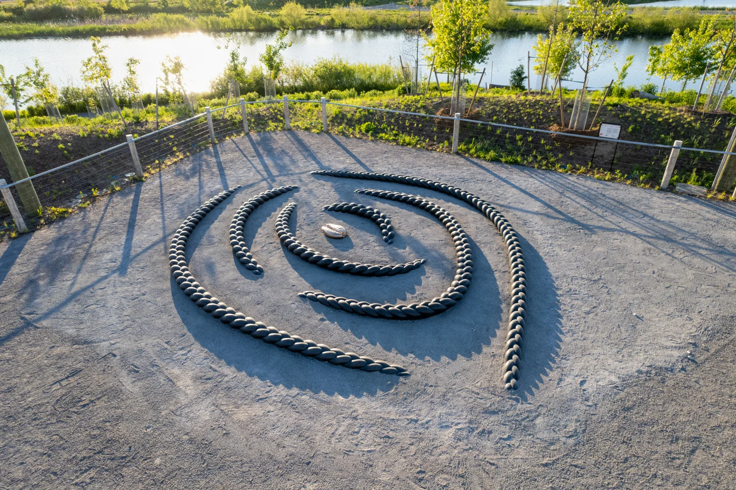
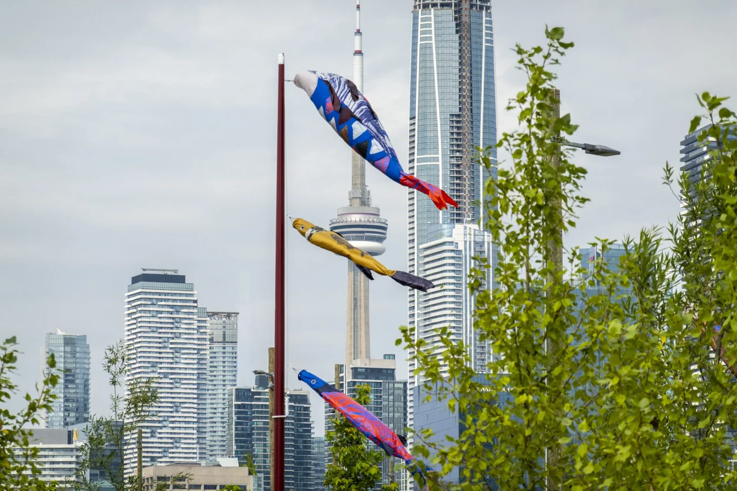
The Lassonde Art Trail is free. Its full route is about four kilometres, and the operator suggests allowing roughly three hours to take it in. That's a sightseeing allowance, not a rule that everyone must walk for three hours. Its visitor page also lists free Saturday tours. Check the current event before planning around one.
For a short walk, choose a few works from the current art list. Look for Alexandre Arrechea's basketball-hoop sculpture Orange Functional, Oluseye's Crown Act, Alexa Kumiko Hatanaka's fish-shaped windsocks and Lisa Hirmer's Lodestar.
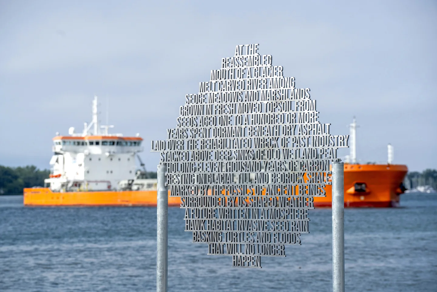
Lodestar is especially useful if you want more than a photo stop. Its polished text sculpture connects the site's geology, recovered seeds and flood protection work. Read it while looking at the landscape it describes. The artist's page explains those links.
Which new artworks are actually here?
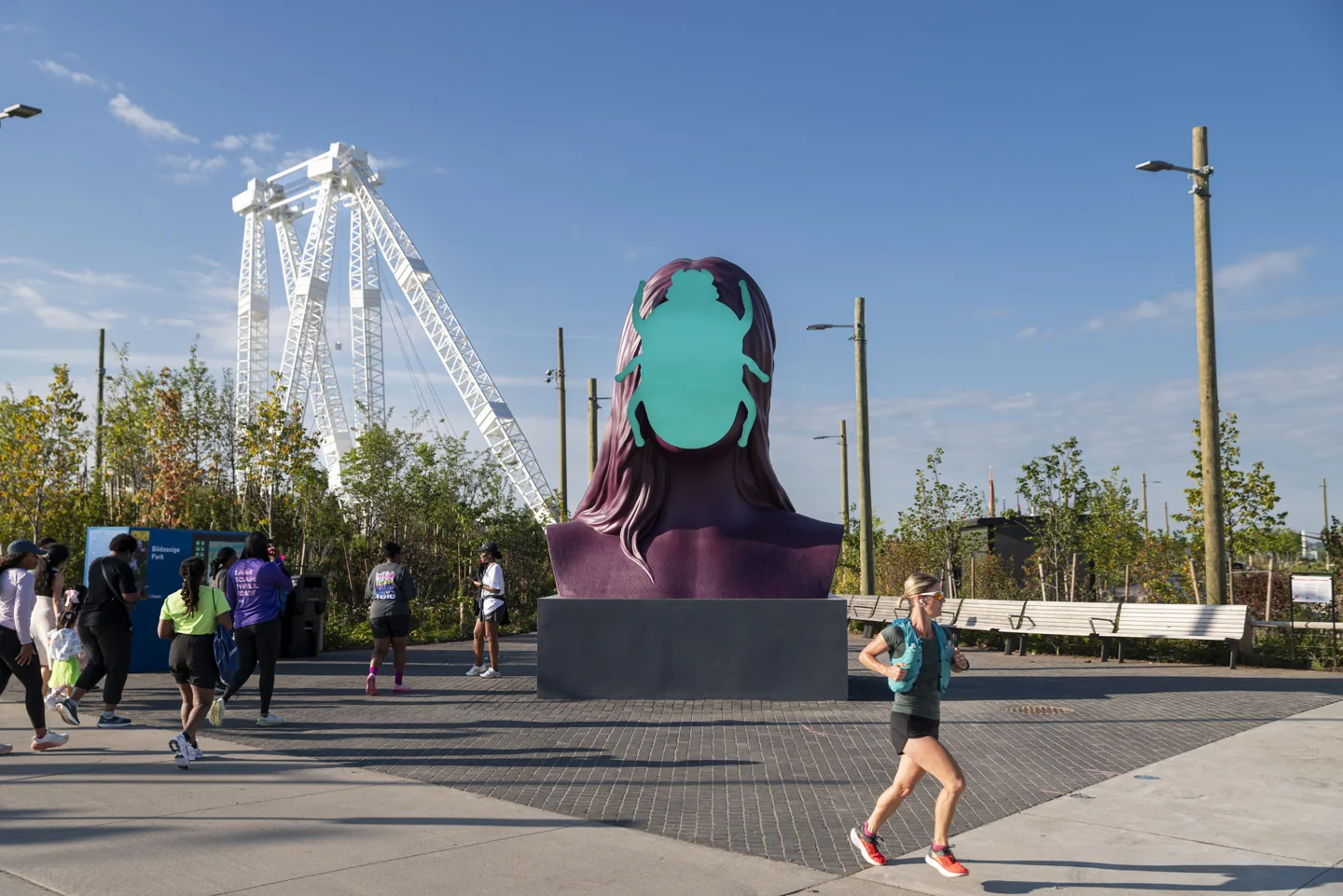
As checked on September 15, 2026, the operator says Monira Al Qadiri's First Sun has been on view since September 12. Older map notes still group it under “Fall 2026.” The dated event announcement is more specific.
Kent Monkman's The Colony is different. Its official page, rechecked September 20, still says late September. That is a planned opening. Confidence in the stated target is high because it comes from the operator. Installation remains unconfirmed on our check date. Check for an opening notice before making a special trip for it.
Shade is the park's biggest weakness
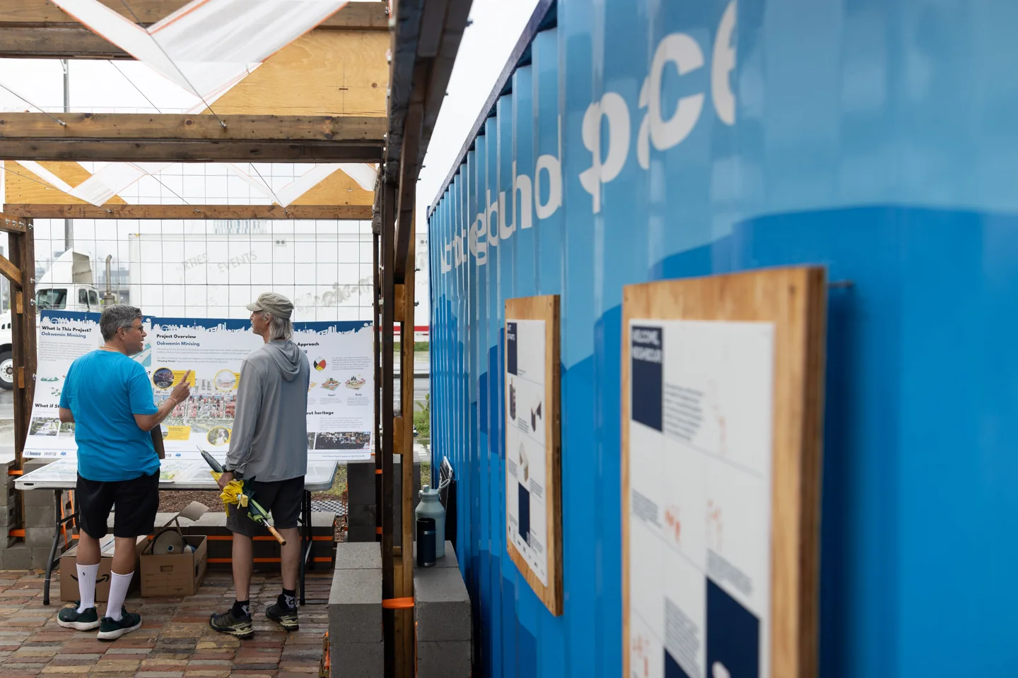
This is not yet a park for spending a whole hot day under mature trees. The City warns that shade is limited. That matters for children, older visitors, people sensitive to heat and anyone waiting beside a playground.
There is a useful new stop: the Waterfront Neighbourhood Space, south of Commissioners Street just east of the fire hall. Its reused-material pavilion provides seating and shade. Waterfront Toronto describes it as a seasonal space through late fall 2026.
A shaded gathering spot doesn't solve sun exposure across the play areas, dog runs and paths. Our advice is to come earlier or later on hot days, carry water and leave room in the plan for a shorter visit. A hat or umbrella helps the person carrying it. It doesn't replace a shaded place to sit with a child.
Pack sunscreen, a hat and a light layer for wind from the lake. A compact picnic blanket gives you more choice when tables are occupied.
For children using the water-play areas, bring spare socks and a bag for wet clothing. For a longer walk, use shoes that handle gravel, boardwalks and damp play surfaces. Do not plan around buying every missing item after arrival.
On a hot day, shorten the route. A skyline photo is not worth pushing a tired child or heat-sensitive visitor across the whole site.
More shade is being pursued, but don't count on a finished fix
Waterfront Toronto's awarded-contracts list records a July 2026 shade-sail supply and installation contract. As of September 15, we haven't confirmed which usable areas are now shaded by those sails. Confidence is high that the contract was awarded; confidence in completed visitor coverage is unconfirmed. A completion notice or current site check would settle that.
For maintenance problems or shade feedback, contact 311 and give the exact area. “Beside the raccoon picnic tables” is more useful than “the new park.”
Washrooms, drinking water and picnic tables
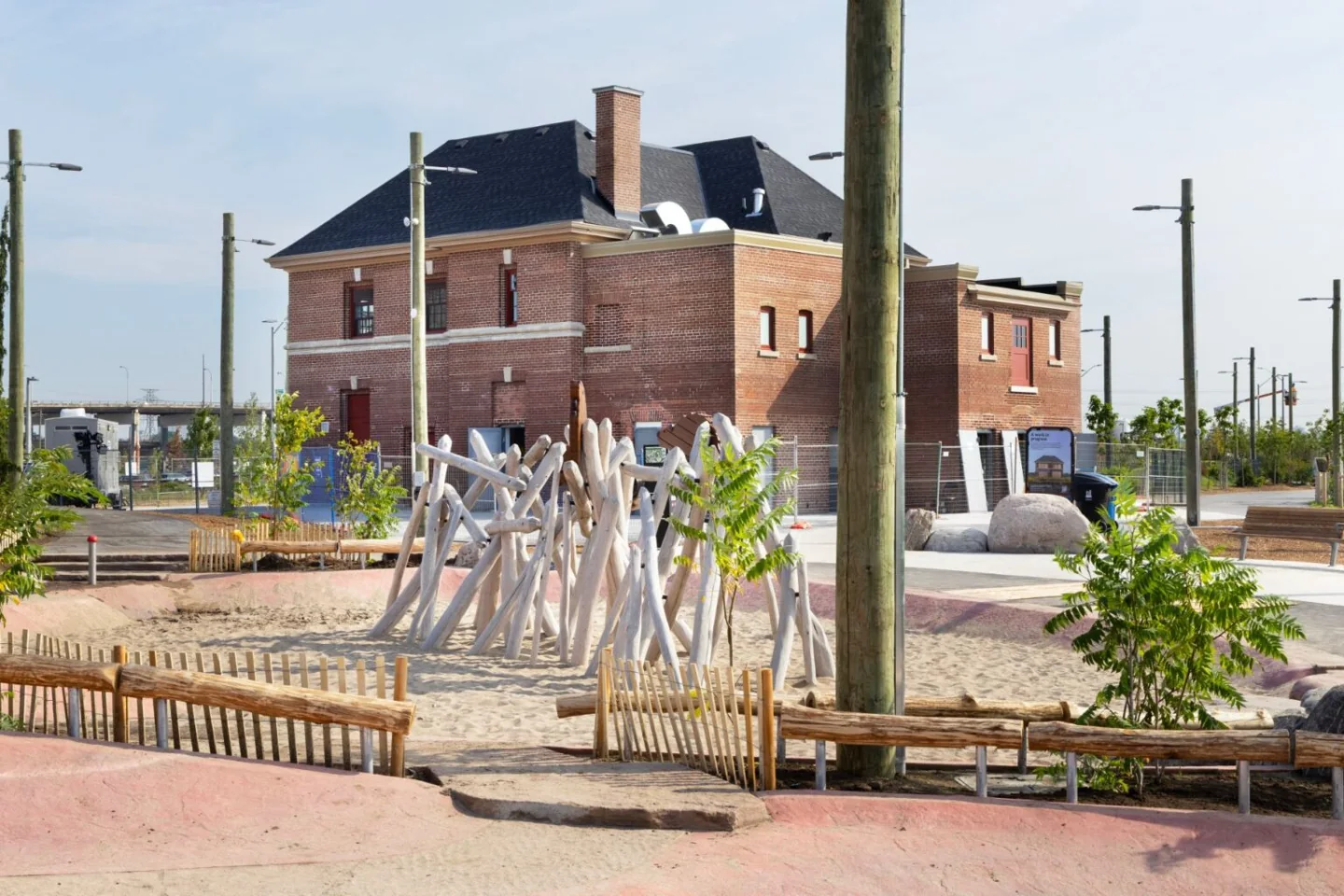
The City lists five accessible washrooms at Old Fire Hall 30, 39 Commissioners Street. Seasonal fountains and bottle-filling stations are available. Bring a filled bottle rather than assuming every fountain will be running.
The Raccoon and River View picnic terraces have shared barbecues and tables. Small picnics use the space on a first-come basis. Larger gatherings need the appropriate booking. A long table isn't yours for the afternoon just because your group arrived first at one end.
The City's food and drink page does not list regular on-site food vending. Bring food for a planned meal. Don't make a hungry child's lunch depend on a possible pop-up.
Washroom hours remain unconfirmed as of September 15, 2026. Visitor reports give conflicting late-evening closing times and describe timed automatic doors. We couldn't verify a current official schedule or door timer. Use the posted instructions and contact 311 if the hours are essential to your visit. The art trail being open all day does not make the washrooms open all night.
Getting there without a car is the better starting plan
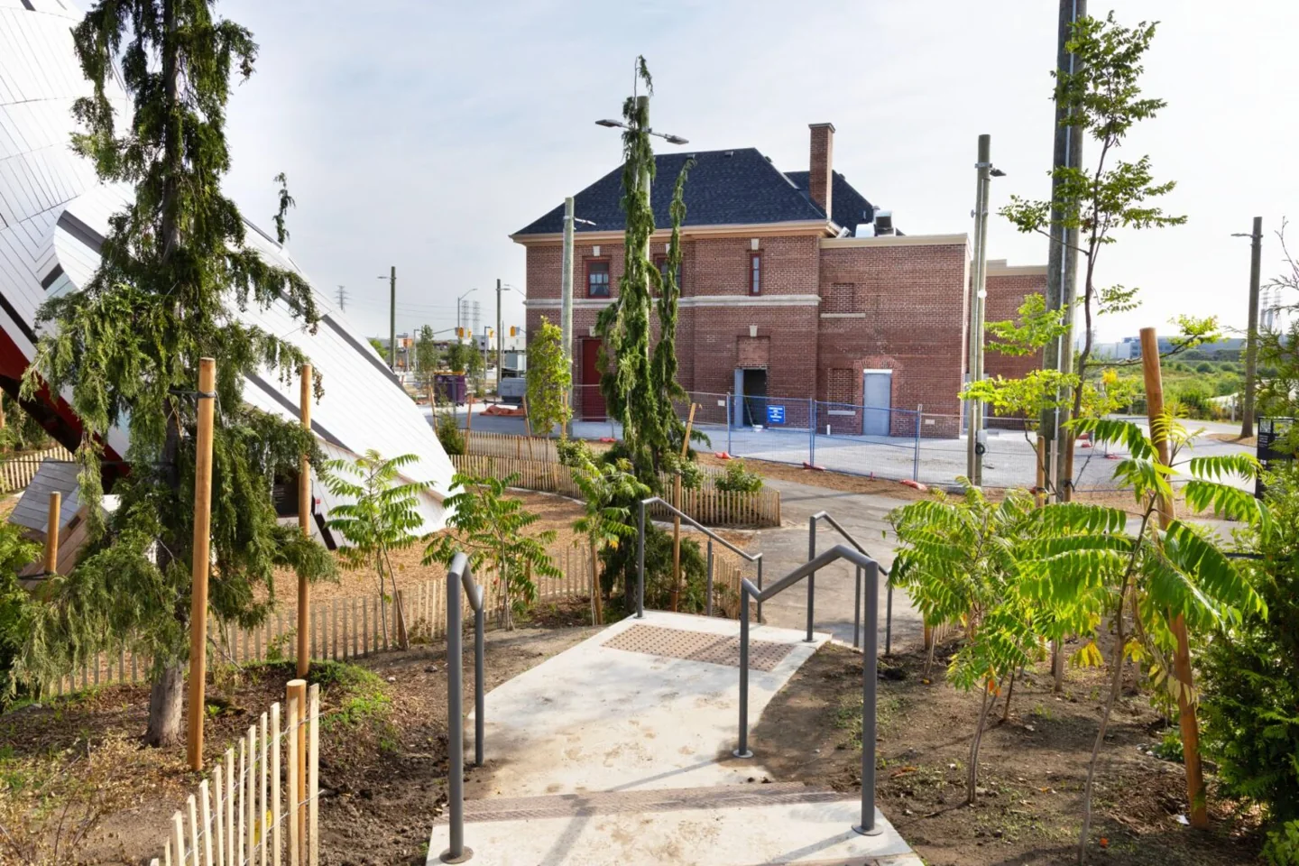
The City directs visitors to the 114 Queens Quay East bus at Cherry and Commissioners, or the 72D Pape at Saulter and Commissioners. Check the TTC's live route information before leaving. Construction can change the trip.
Cyclists can connect through the waterfront route and use park bike racks. Bike Share is another option, but check the app for a bike at your starting dock and space near the park before setting off.
Wheel-Trans meeting points are listed as BIIDAAS-PK at 39 Commissioners and BIIDAAS-WE at 242 Cherry. Use the named point when arranging your trip. Main paths offer an easier route than rock steps down towards the water. For broader planning, see our accessible Toronto outings.
Drivers have a temporary lot at 11 Munition Street and limited nearby street parking. Read the current signs and prices. The City also directs rideshare pickups and drop-offs to 11 Munition, not Commissioners Street.
Treat the boat as an optional part of the outing
The East-West Shuttle serves the park near 242 Cherry Street. Its current banner advertises on-demand service from Bathurst, daily from 10 a.m. to 7 p.m. through October 12, at $15 one way.
But older material on the same site gives different stops, hours and booking instructions. Its FAQ also lists tax and a service fee. Treat $15 as an advertised fare, not a verified final total. Confirm the sailing, full fare and return trip at 416-579-5131 before relying on it.
The operator says power wheelchairs and electric bikes cannot be carried. Confirm any mobility-device or bicycle arrangements directly. The bus is our first choice for a predictable plan; the boat is an extra when the current details work for you.
Dogs, paddling and the natural river landscape
There are two off-leash areas, near the fire hall and west of Cableway Canyon. Elsewhere, keep dogs leashed. Watch hot pavement and artificial turf before a long stop. The City's recreation guide lists dog facilities, fishing spots and the outdoor gym.
Paddlers have Canoe Cove and river access, but the harbour isn't a calm swimming pool. Wind, waves and commercial vessels matter. Check current closures, keep clear of working ships and follow launch signs. Older City text still calls Canoe Cove closed; the July opening notice supersedes that detail, not every other construction restriction.
Don't swim or dive from the promenade. Fishing has designated areas and applicable licence rules. The park rules also cover bike parking, permitted electric bicycles and protected planting areas. Lock to a proper rack, keep out of fenced habitat and leave plants where they grow.
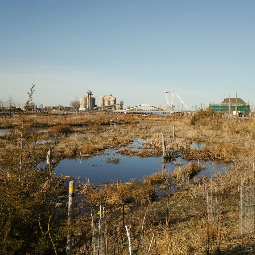
The rougher river landscape is part of the point. Dead wood and standing dead trees provide habitat. This isn't an abandoned lawn waiting for a cleanup. The City's park history explains how the river, floodplain and higher ground work together.
What is still coming?
The City's current target for Biidaasige Park North is 2028. Planned features include a skating trail, another lookout, washrooms, event space and a connection to the Keating Equinox Bridge. These are future plans, not facilities to use today.
We found no current official confirmation of an operating skateboard park here. Don't confuse a future ice-skating trail with a skatepark for boards. And don't treat ice forming on the river as permission to skate on it.
The surrounding island will also gain housing. Its final streets, transit and everyday shops will develop over time. Expect a park in a changing area, not a finished waterfront neighbourhood.
Frequently asked questions
How do you pronounce Biidaasige?
The City gives “bee-daw-si-geh.” The name means “sunlight shining toward us” in Anishinaabemowin. The island's name, Ookwemin Minising, means “place of the black cherry trees.” See the City's park introduction.
What do the animal sculptures mean?
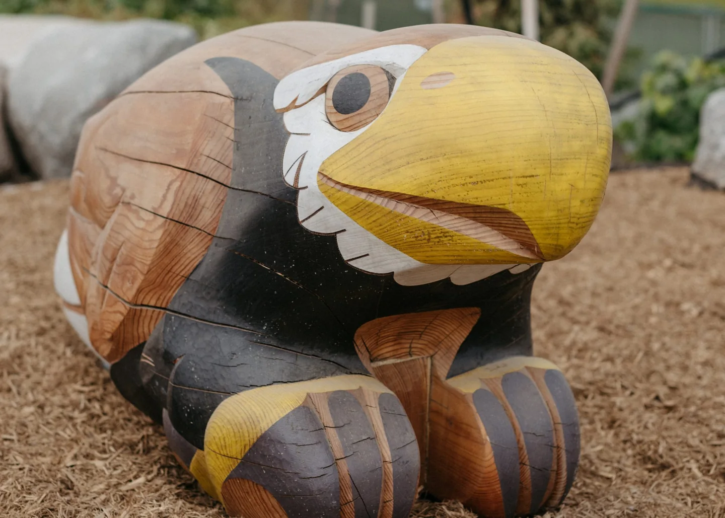
The dodem sculptures connect play with Indigenous clan teachings. They were developed with Indigenous partners, including the Mississaugas of the Credit First Nation. The Indigenous placekeeping guide also explains plantings, marker trees, teaching stones and interpretive signs.
Is the whole park free?
Walking through the park and viewing the outdoor art are free. Transit, parking, boat fares, booked facilities and separately ticketed activities can cost money. A free park visit doesn't need to become a paid boat outing.
Is Biidaasige Park accessible?
The art-trail operator describes the main paths as accessible, and the City lists accessible washrooms. The rock scramble, water-edge steps and climbing structures are different surfaces and experiences. Choose the main paths and confirm a specific access need before travelling.
Is it a good place for photos at night?
The skyline is a reason to visit the west side, but we can't guarantee personal safety or late-night facilities. For a first trip, our pick is a daylight arrival with an early-evening return already planned. Check the bus home and don't rely on an unverified washroom closing time.
Can I visit in winter?
The art trail is listed as open year-round, but seasonal water facilities and weather affect what you can use. The planned skating trail is not an existing winter attraction. Choose a shorter walk in suitable conditions, or use our rainy-day and indoor Toronto ideas when the weather makes an exposed visit unappealing.
How much time should I allow?
For a first visit, we suggest choosing one section and leaving the schedule loose. A playground stop can fill the outing on its own. Save the complete art walk for a day when everyone wants a longer trip.