


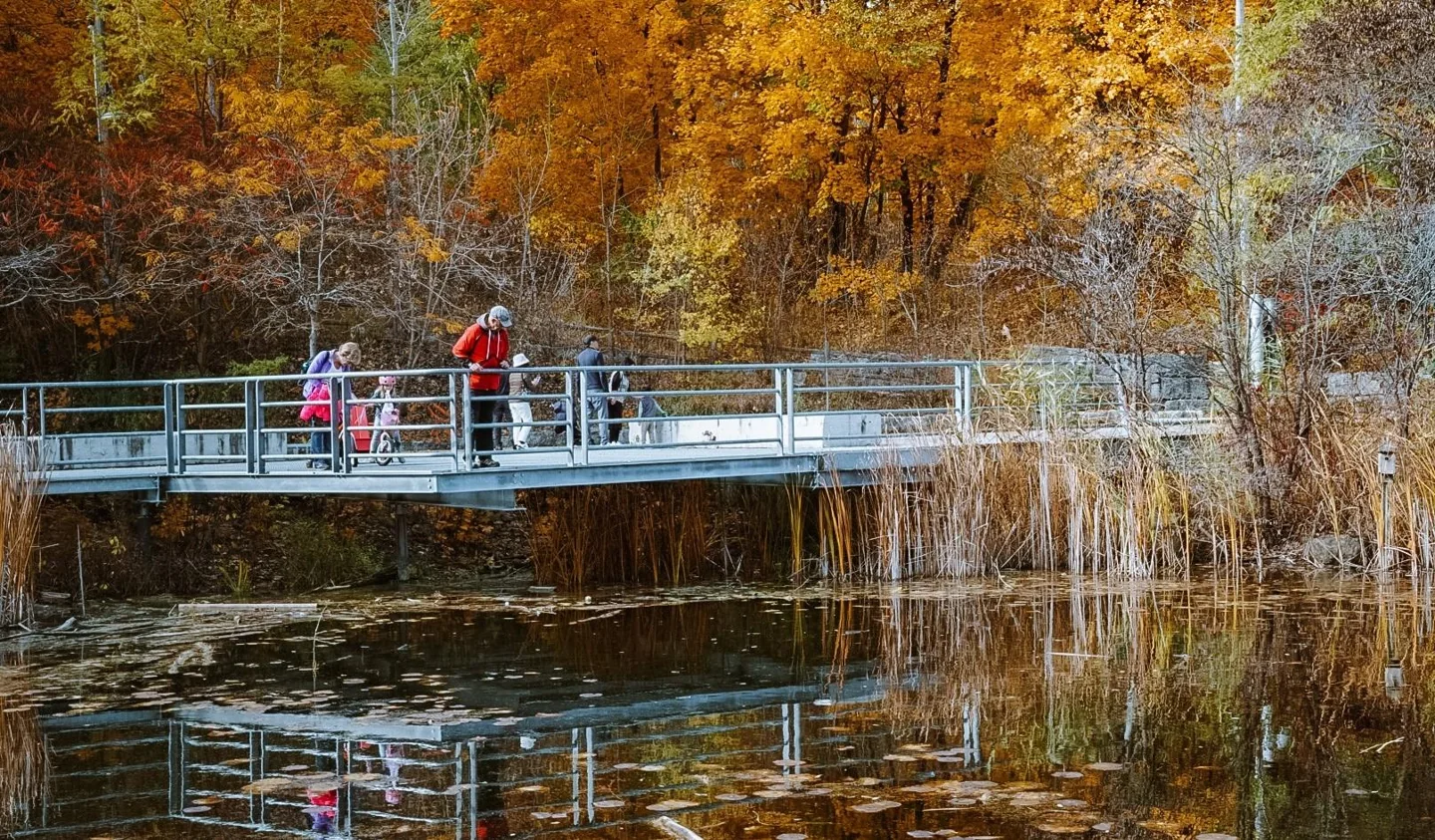
Étienne Brûlé Park is our first pick for fall colours in Toronto by TTC. You get a riverside walk near Old Mill Station and a simple route that lets you turn back when you want. Humber Arboretum is our pick in the northwest, with Line 6 now serving the campus.
For a longer ravine walk, save the Brick Works and Moore Park route for when access is clear. Skip Rouge's Vista Trail as a casual TTC outing while its north entrance is closed. The biggest deal-breaker this fall is storm damage, not a lack of pretty trees.
Checked September 11, 2026. This is a guide to planning an autumn visit. Photos show the named places in different seasons and years. They are not live reports of today's leaves or trail conditions.
Check these access problems before choosing a walk
The September 2 storm damaged trees and caused flooding across Toronto. Check the City's facility service alerts and the individual park and trail-project pages before leaving. The service-alert page covers facilities such as washrooms and water fountains. It is not a complete map of every damaged ravine path. A sunny forecast does not mean a flooded path has reopened.
Evergreen's current visitor page says the Brick Works is closed for flood cleanup, site access is restricted, Picnic Café is closed and on-site events are cancelled. The September 5 farmers' market moved to the Distillery District. That past relocation is not a standing location promise for later Saturdays. Do not use the site as a starting point or washroom stop until Evergreen confirms reopening.
Mount Pleasant Cemetery has also posted a storm recovery notice. Expect possible path, road or gate restrictions while crews work. Rouge's Vista Trail has a separate north entrance closure. That is not a new storm warning.
Lower Don: another closure is planned after Thanksgiving
The City's Lower Don Trail project update confirms a temporary closure planned after the October 12 Thanksgiving weekend to finish the Riverdale pedestrian bridge's sloped connection. It does not yet give an exact start, finish or closure map. Do not turn “after Thanksgiving” into a confirmed October 13 start.
The August update records the trail opening from Corktown Common to E.T. Seton Park, with stairs at Queen, Dundas and Riverdale. The new sloped Riverdale connection remains closed. That August opening also does not prove every section escaped September storm damage.
Avoid building an October through-walk around this connection until the City posts the work limits. A short out-and-back route in one park is easier to change.
Reports still needing a full official route check
As of September 11, recent public photos and visitor reports describe washouts on Wilket Creek Trail and damage on parts of the East Don system. Confidence that damage occurred is high. The exact limits, safe detours and reopening dates are not fully confirmed here.
Do not use a comment saying a trail is “passable” as proof that it is safe for your group. A cyclist lifting a bike over damage tells you little about access with a wheelchair, stroller or small child. An official reopening notice and a current on-site check could change these recommendations.
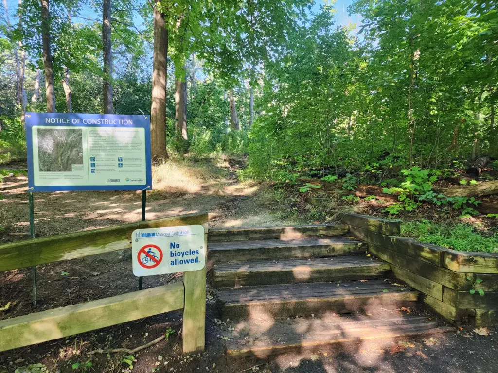
The photo above shows trail work in Lambton Woods in 2025. It is a reminder to read the signs at a trail entrance, not a live view of storm damage.
Which fall walk should you choose?
Our ratings below describe how well each place fits a simple trip without a car. They are editorial planning judgments based on transit, terrain, route choices and access limits. They are not visitor review averages or scores from a recent test walk.
| Best for | Our pick | Why it wins | Main drawback |
|---|---|---|---|
| A first visit | Étienne Brûlé Park | Line 2 access and a simple riverside route | Check river and path conditions after rain |
| Northwest Toronto | Humber Arboretum | Gardens and woods near Line 6 | Campus walk and steep lower trails |
| A short city break | David A. Balfour Park | Upper park near St. Clair Station | The ravine below is a different, harder walk |
| A quiet, respectful stroll | Mount Pleasant Cemetery | Mature tree collection and broad roads | Current cleanup, gate hours and funeral activity |
| A longer forest outing | Moore Park Ravine | A proper wooded walk toward the Brick Works | Check the return route and recovery status |
| East-end woods | Glen Stewart Ravine | Oaks, maples and a small, clear destination | Stairs make it a poor wheelchair choice |
| A future full-day plan | Rouge Vista Trail | A raised view over a large valley | North access is closed; awkward by TTC |
Compare the full list by terrain and time
The times below are suggested time at the park, not measurements of a certified route. A “short” visit still needs travel from the station or bus stop. Check the detailed profile and current alerts before choosing.
| Place | Suggested time | Terrain or access decision |
|---|---|---|
| Étienne Brûlé | 45–90 minutes | Simple riverside turnaround; check water and paths |
| James Gardens | 45–75 minutes | Garden terraces; choose routes that avoid unwanted steps |
| Lambton Woods | Extra 45–90 minutes | Woodland extension with dirt, steps and uneven ground |
| Humber Arboretum | 60–120 minutes | Start near the gardens; lower trails add climbs |
| Brick Works | 60–120 minutes after reopening | Flood cleanup currently blocks a dependable visit |
| Moore Park Ravine | 90–150 minutes | Longer wooded outing with a planned return |
| Mount Pleasant | 45–90 minutes | Broad roads, gates and active funeral grounds |
| Kay Gardner Beltline | 30–90 minutes | Narrower linear trail with street crossings |
| David A. Balfour | 30–60 minutes upstairs | Upper park is gentler than the ravine below |
| Edwards Gardens | 45–90 minutes | Stay in gardens if creek access is uncertain |
| Wilket Creek | 60–120 minutes after route check | Current washout reports make a through-route uncertain |
| Sunnybrook | 60–120 minutes | Large park; include the walk from the street |
| Crothers Woods | 60–120 minutes | Intermediate dirt trails with steep sections |
| Charles Sauriol | 60–120 minutes | Confirm entrance, trail condition and the same exit |
| Morningside | 60–120 minutes | Valley descent and a climb back to the street |
| Rouge Vista | Longer trip plus 1.5 km each way | Closed north access, slopes and lookout stairs |
| Glen Stewart | 30–60 minutes | Compact ravine with stairs |
| Earl Bales | 45–90 minutes | Upper gardens and lower valley are different outings |
| Taylor Creek | 45–90 minutes | Choose a short section of the shared linear path |
When will Toronto's leaves peak?
There is no confirmed peak date for Toronto in 2026. Start checking local trees in October and keep more than one weekend free. Do not book an expensive trip around a promise that every tree will turn on one date. The Ontario Parks fall-colour report covers reporting provincial parks. It is useful for a trip farther away, but it is not a live reading of Toronto’s ravines.
Different trees change at different times. A park can have bare branches, yellow leaves and green trees on the same path. Recent photos of the exact park are more useful than a broad report from a forest hours north of Toronto.
For a day beyond the TTC network, compare our walkable GO Train day trips. Keep that as a separate plan, with its own travel time and fare.
1. Étienne Brûlé Park: best for the Humber River
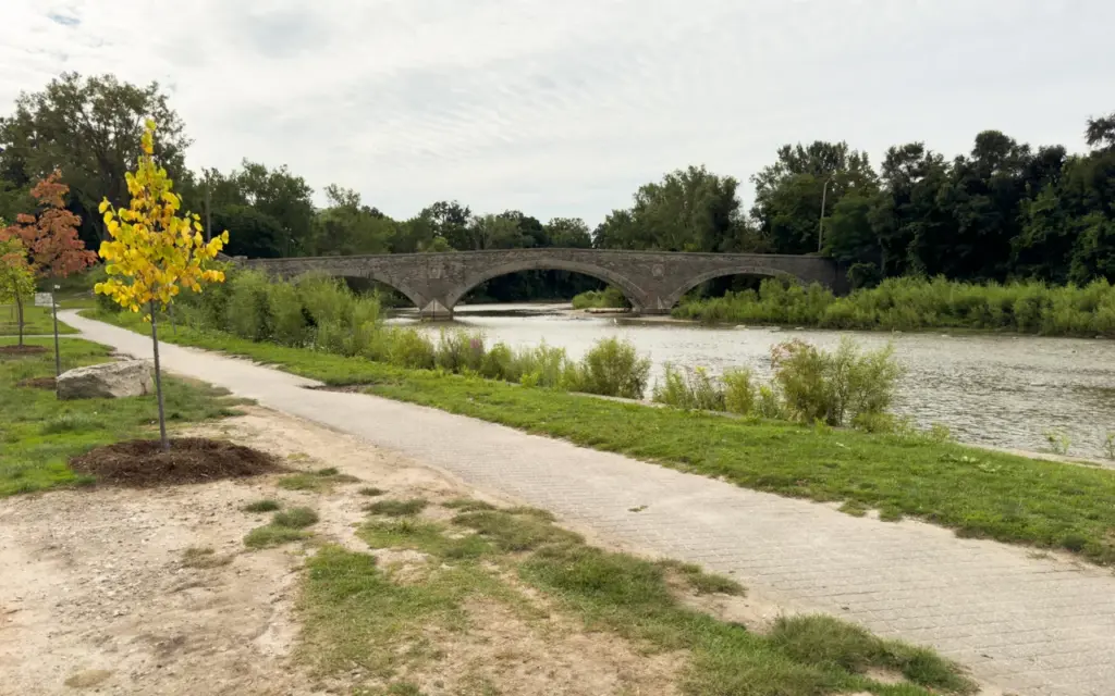
Start: Old Mill Road near the bridge over the Humber. TTC: Old Mill Station on Line 2. Allow: 45 to 90 minutes.
This is a strong choice when you want a river beside the walk. Head north on the signed public trail and turn back when you have used half your time. That keeps the return simple.
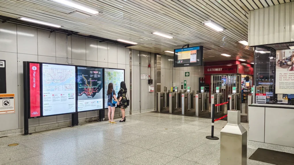
Step-free transit warning: Old Mill Station's subway platforms are not accessible. Its street-level bus platform is barrier-free, but that does not provide an elevator from the trains. If you need to avoid stairs, plan a suitable surface-transit or drop-off route and check the park approach separately.
The City's postal address is 13 Crosby Avenue, but the Old Mill end is the useful meeting point for this subway trip. Share the entrance pin below, rather than a broad park pin that could send friends to different ends.
The official park listing explains the park's river setting and walking connections.
Pros: Water views, a clear out-and-back plan and easy Line 2 access. Cons: River conditions matter after rain. Salmon activity, when present, can draw people to a small area.
Pick it for a river walk. Stay on the path and banks set aside for visitors; do not climb down to get closer to fish.
2. James Gardens: best for a slow garden walk
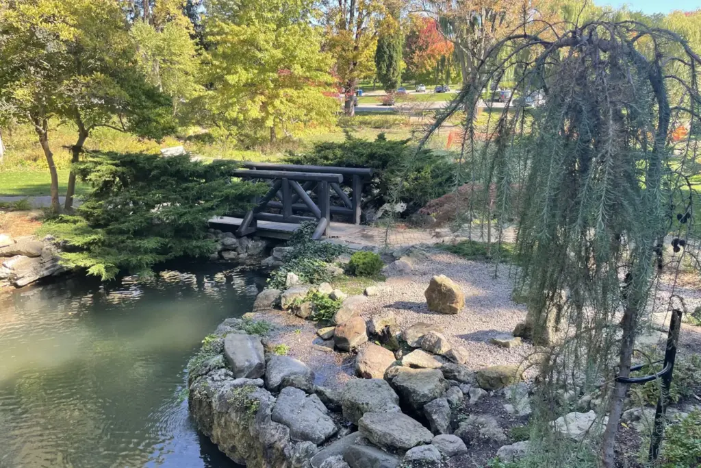
Address: 99 Edenbridge Drive. TTC approach: Royal York corridor, then the local walk to Edenbridge Drive. Allow: 45 to 75 minutes in the gardens.
James Gardens works well for someone who likes little scenes: a pond, a bridge, a tree leaning over water. It does not need to be a long hike to feel like an outing.
The former estate has mature trees and terraced paths. Those terraces are also the reason to look closely at the route if stairs or uneven stone are a problem. Use the entrance and upper areas that fit your needs.
Check the City's James Gardens page and the live TTC trip planner. Choose an actual arrival time, rather than assuming every Royal York bus branch has the same route.
Pros: Small features reward a slow pace. Easier to enjoy in a short visit than a sprawling valley system. Cons: The final transit approach takes more thought than a park beside the subway.
Choose it for gardens and water. Use Lambton Woods next door only if you want a separate woodland extension.
3. Lambton Woods: best as an extension from James Gardens
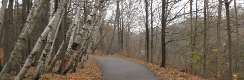
Start: The signed trails south of James Gardens. TTC approach: Plan your trip to 99 Edenbridge Drive. Allow: Another 45 to 90 minutes.
Lambton Woods gives the garden trip a different feel. You move from tended beds into a wooded valley. Use the signed trail network, rather than treating every narrow track as a route for visitors.
The City completed natural trail improvements in fall 2025. Its Lambton Woods project page shows the work and trail plans. That does not guarantee every path is clear after a new storm.
Stay aware of the difference between the paved river trail and dirt paths with steps. They are not equal choices for wheels or for someone who needs a firm, smooth surface.
Pros: A fuller forest outing without changing neighbourhoods. Cons: More route choices and uneven ground. The way down can be easier than the way back.
Add it to James Gardens in dry conditions. Skip the dirt paths when mud or footing is a concern.
4. Humber Arboretum: best in northwest Toronto

Address: Behind Humber Polytechnic's North Campus, 205 Humber College Boulevard. TTC: Line 6 Finch West to Humber College. Allow: 60 to 120 minutes, plus the campus walk.
You do not need to be a Humber student to visit. The gardens and trails are free. The main entrance is at the back of campus, near the residence and the bottom of the U-shaped Arboretum Boulevard.
The official directions now include Line 6. Follow campus signs instead of expecting the gardens beside the transit platform.
Near the main entrance, paths include interlocking stone and firm gravel with gentle slopes. The lower woods add hills and stairs. The self-guided trail page explains those differences.
Pros: Gardens and woods in one free visit. A much better transit prospect with Line 6 running. Cons: The indoor ecology centre is normally closed on weekends, and lower trails need more effort.
Start with the gardens. Add the lower trails only when the whole group wants that climb back.
5. Evergreen Brick Works: best for a walk with a useful base
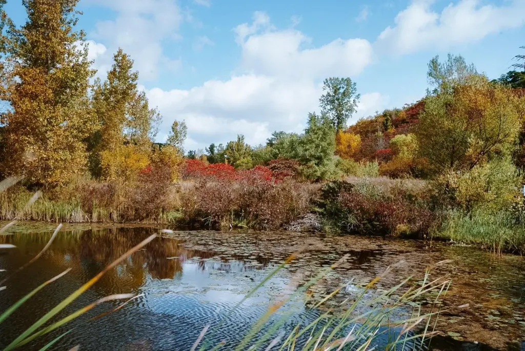
Address: 550 Bayview Avenue. TTC approach: Check the current route and shuttle details on Evergreen's visit page. Allow: 60 to 120 minutes when visitor access is restored.
The ponds and old quarry make this a good place to see layers of trees. You can stay near the lower paths or add the climb toward the ridge. The upper lookout is not a step-free version of the same walk.
The City's park description identifies accessible terrace pond lookouts. It also warns that granular paths change with weather and ridge paths are steep.
Current limit: The visitor page still lists the site closed for flood cleanup on September 11. The ordinary hours printed lower on that page do not override the closure banner.
Pros: Several walk lengths, water views and a visitor base in normal operation. Cons: Flooding can affect the whole plan, including the break you were relying on.
Save it for a clear reopening update. Étienne Brûlé Park is an alternative once its riverside paths are clear.
6. Moore Park Ravine: best for a longer wooded walk
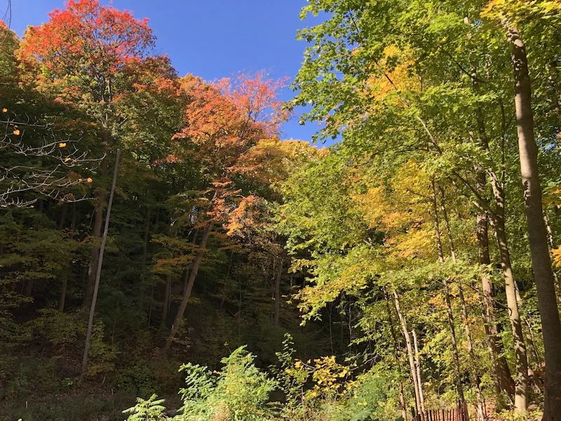
Start: The signed ravine entrance at Moore Avenue. TTC: 88 South Leaside along Moore Avenue. Allow: 90 to 150 minutes for a leisurely return walk, depending on your turnaround point.
This is the choice for people who want the walk itself to be the outing. The ravine follows the old railway corridor toward the Brick Works. Tall trees and the depth of the valley make the surrounding streets feel far away.
Use the current 88 route page to choose the right stop and direction. The 88A runs from St. Clair Station along Moore Avenue, with a stop at Orchard Green. Route branches changed in 2026. Do not follow an old instruction for a bus destination that has moved.
For a first visit, an out-and-back walk is easier than building a long loop through several ravines. Check the lower end before depending on a Brick Works exit during cleanup.
Pros: A substantial forest walk without a drive. Cons: More distance from streets, hills at access points and a return trip that needs thought.
Choose it with time, daylight and dry paths. Do not use it as a rushed shortcut.
7. Mount Pleasant Cemetery: best for trees and a slower pace
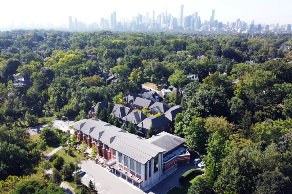
Address: 375 Mount Pleasant Road. TTC approach: Davisville Station for the Yonge Street side, or a bus along Mount Pleasant Road. Allow: 45 to 90 minutes.
Mount Pleasant has an arboretum, which means a collection of trees grown and kept for study and enjoyment. Use the operator's tree guide if you want to learn what you are seeing.
This is also a working cemetery. Give mourners space, keep voices low and step aside for funeral activity. It is not the place for a loud picnic or a staged photo session that blocks a road.
The current cemetery page lists gates open from 8 a.m. to 8 p.m. through October 31, then to 5:30 p.m. from November 1. Its September storm notice warns of cleanup and possible local restrictions.
Pros: Mature trees, broad roads and several route lengths. Cons: Gates close, and access can change for work or services.
Use the roads and signed paths. Leave plenty of time before the gates close.
8. Kay Gardner Beltline: best for a walk you can shorten
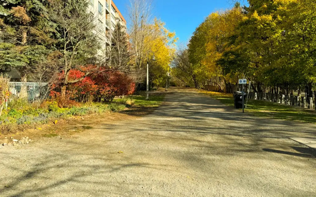
Start: The trail near Davisville Station and Yonge Street. TTC: Davisville on Line 1. Allow: 30 to 90 minutes.
This trail is useful because you can choose a small stretch. Walk west, note the streets you cross, and turn back before the trip becomes longer than you wanted.
The City's Beltline listing describes the former railway route. It is a linear park, so the experience is a long strip of trees rather than a wide valley view.
That is a fair trade for easy access. It also means you share a narrower space with runners and people on bikes. Move fully aside for photos.
Pros: Flexible length and useful street exits. Cons: Road crossings break up the walk, and busy stretches can feel like a travel route.
Pick a section instead of feeling you must finish the entire Beltline. It is a better fit for a spare hour than Rouge.
9. David A. Balfour Park: best for an easy upper-park option
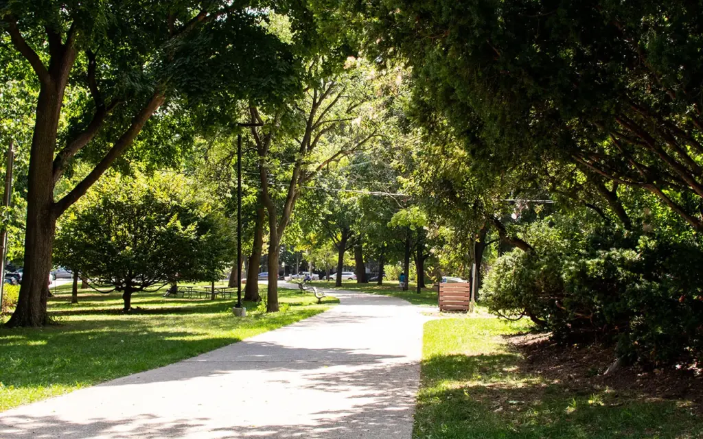
Address: 75 Rosehill Avenue. TTC: St. Clair Station on Line 1. Allow: 30 to 60 minutes for the upper park.
Choose the upper park when you want trees and space without committing to a ravine descent. It sits over the Rosehill Reservoir. The City park information added accessible multi-use paths, benches and washrooms.
The park listing also describes paths into the forested ravine. Treat those as an optional second walk. A smooth path above does not make every route below suitable for wheels.
If someone in your group tires quickly, meet at Rosehill Avenue and stay near the upper paths. That leaves a clear way back to the street.
Pros: A useful short option near the subway. Cons: The biggest forest effect is below, where the terrain is more demanding.
Use the upper park when ease matters most. Do not descend just because a map draws a tempting line.
10. Edwards Gardens: best for gardens before a ravine walk
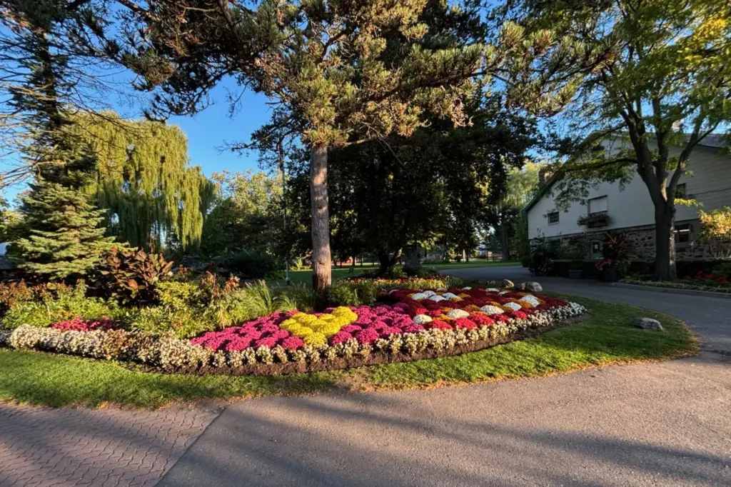
Address: 755 Lawrence Avenue East, beside Toronto Botanical Garden. TTC approach: Leslie Street and Lawrence Avenue East. Allow: 45 to 90 minutes.
Start at the gardens and decide whether to stay among the beds and trees or go down toward Wilket Creek. The upper and lower areas give very different levels of effort.
The official garden description explains the estate garden, valley and arboretum. This is the Don River system, not the Humber.
Check Toronto Botanical Garden's visitor information before relying on indoor hours or a trail connection. Recent reports of damage in the wider creek system make that check especially useful this fall.
Pros: Trees, planted gardens and a clear place to meet. Cons: Some garden routes have slopes or steps. A planned walk all the way to Sunnybrook may be interrupted.
Choose the gardens as your main plan. Treat the creek walk as an extra, not a promised through-route.
11. Wilket Creek Park: a strong woodland walk to revisit after damage checks
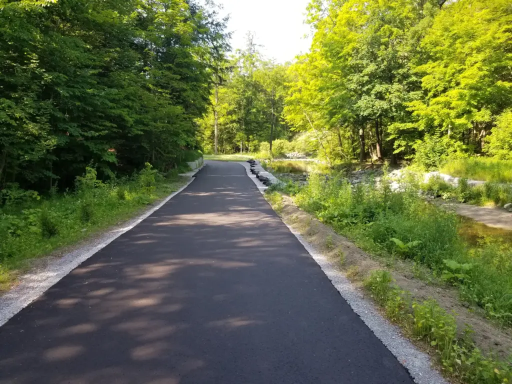
Address: 1100 Leslie Street. TTC: Sunnybrook Park Station on Line 5 for the southern approach. Allow: 60 to 120 minutes only after checking a usable route.
The photograph shows the path after restoration in 2019, before the recent storm. Wilket Creek's appeal is simple: mature woodland beside a creek, with a paved route through parts of the valley. The City's listing describes more than two kilometres of walking and cycling trails.
But this is not a place to recommend blindly after the September storm. Visitor photos posted September 9 show damaged trail surfaces between Sunnybrook and Edwards Gardens. The exact safe limits and repair dates need a current official check. Separately, the City’s planned bridge replacement schedules bridge work for fall 2027. That project timetable is not a reopening date for this storm damage.
The Sunnybrook Park station page confirms accessible LRT platforms at Leslie and Eglinton. That describes the station, not the full creek trail.
Pros: A real forest setting with new rapid-transit access nearby. Cons: Current washout concerns can defeat a smooth-path plan.
Save it for confirmed usable paths. Do not promise this outing to someone who needs step-free access until the whole route is checked.
12. Sunnybrook Park: best for space and a flexible turnaround
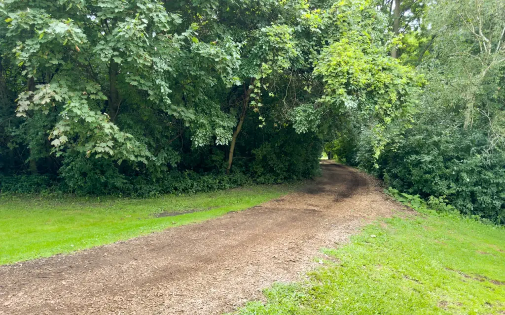
Address: 1132 Leslie Street. TTC: Sunnybrook Park Station on Line 5, followed by the walk into the park. Allow: 60 to 120 minutes.
Do not expect the station to put you beside every part of this large park. The walk from the street is part of the outing. Choose a turnaround point before heading deeper into the valley.
Sunnybrook includes open areas and woodland. The City's page identifies varied forest habitats and bird life. For leaves, focus on the tree-lined paths instead of crossing sports fields just to add distance.
Check the park listing for washroom availability before relying on that facility. Seasonal hours and maintenance can change the plan.
Pros: Plenty of space and several possible walk lengths. Cons: Distances add up, and trail connections to nearby parks need checking after the storm.
Choose it when open space matters. Skip an ambitious multi-park loop if your group needs a reliable washroom and easy exit.
13. Crothers Woods: best for walkers who want real trails
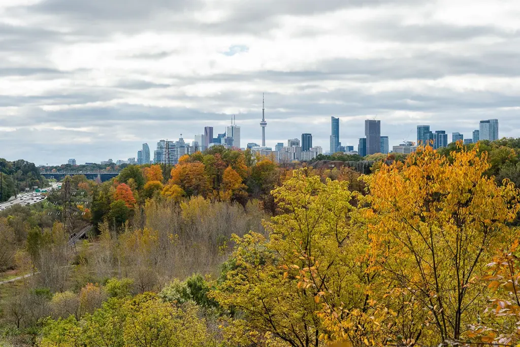
Start: The signed trailhead near 27 Redway Road. TTC approach: 88A from St. Clair Station to Millwood Road at Redway Road, then the walk to the signed trailhead. Allow: 60 to 120 minutes.
Crothers Woods is one of the stronger choices for feeling inside a forest. It is also a poor choice to describe as an easy stroll for everyone.
The City's trail description calls the main dirt trails intermediate. Some are about a metre wide and include steep sections. Read the trail map at the entrance before choosing a route.
Use shoes with grip. Let people on bikes know where you are, and step to a stable place when you need to pass. Wet leaves can hide roots and edges.
Pros: Mature woodland and some city views. Cons: Narrow paths, hills and shared use. Mud makes the walk harder and damages trails when people go around it.
Go in dry daylight conditions. Choose an upper park or broad garden path if you want a gentle outing.
14. Charles Sauriol Conservation Area: best for an East Don outing
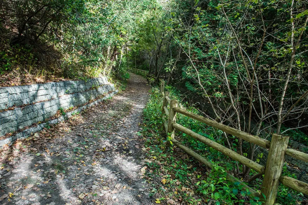
Address: 1191 Lawrence Avenue East. TTC approach: Lawrence Avenue East near the Don Valley Parkway. Allow: 60 to 120 minutes after checking the route.
This wooded part of the East Don system offers a good change from the best-known west-end parks. Use a named entrance and a simple out-and-back route on a first visit. “Meet in the Don Valley” is not a useful plan.
The City's listing places the conservation area southeast of Lawrence and the DVP. Its trail connections are a strength, but they can also lead you farther from your starting point than expected.
Current limit: Recent reports describe storm damage in the East Don network. Do not assume an older route through the area remains continuous. Check posted closures and turn around at damage.
Pros: A substantial urban forest and several possible connections. Cons: The transit approach and route choice take more work. Traffic noise does not vanish everywhere.
Save a map offline and choose your exit before you enter.
15. Morningside Park: best for Scarborough families who want room
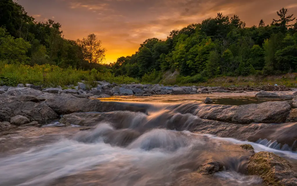
Address: 390 Morningside Avenue. TTC approach: Morningside Avenue between Lawrence and Ellesmere. Allow: 60 to 120 minutes.
Morningside has mature trees, creek views and space for a walk that does not need a tight schedule. It is a better starting point than a distant west-end park if you already live in eastern Scarborough.
The City's directions say to enter from the west side of Morningside Avenue. The park road down into the valley adds distance. Keep that climb in mind before walking far from the entrance.
The park has picnic areas, a playground and washrooms, with weather limits on facilities. Bring water rather than depending on every seasonal tap.
Pros: Creek scenery and room for a mixed-age group. Cons: The valley access makes it more effort than the street address suggests. Wet ground can affect the outing.
Choose one creek-side stretch and leave time for the way back up. Keep children away from fast water.
16. Rouge Vista Trail: best saved for a fully checked trip
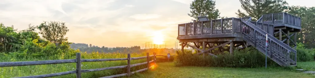
Current listed trailhead: 55 Twyn Rivers Drive. TTC verdict: Awkward while the north entrance is closed. Trail distance: 1.5 kilometres one way, according to Parks Canada.
Vista has a two-level viewing platform and a broad valley view. That is why it deserves a place in a fall guide. It does not deserve a casual promise that a bus drops you at the usual entrance.
Parks Canada's Vista page says north access from Zoo Road Day Use Area is closed. The listed southern approach is at Twyn Rivers. The trail is moderate, with slopes. The platform uses stairs.
Do not confuse Vista Trail with Rouge Beach or assume Rouge Hill GO is a short walk from every Rouge trail. This park covers a large area. A map showing green land does not prove a safe walking connection along a road.
Pros: A proper valley viewpoint. Cons: Closure, travel effort and a poor fit for a quick TTC-only trip.
Choose another park unless you have checked the full approach and return. The view alone does not fix the travel problem.
17. Glen Stewart Ravine: best for a short east-end forest escape
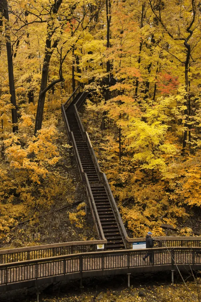
Address: 351 Glen Manor Drive. TTC approach: Kingston Road or Queen Street East, then the local walk to the ravine. Allow: 30 to 60 minutes.
Glen Stewart is small enough to be a clear destination, but the stairs and wooded slopes make it feel like more than a neighbourhood path. The City's description identifies red oak and red maple in the forest.
This is a good choice when you want to look up through leaves and take your time on a short route. It is not a step-free woodland walk. Wet boards and fallen leaves call for care.
Share the same entrance with anyone meeting you. The upper and lower ends lead to different streets, so a loose meeting plan can waste half the outing.
Pros: A compact forest setting with a strong sense of place. Cons: Stairs, narrow sections and a walk from transit.
Choose it for a short walk in the east end. Skip it if anyone needs a smooth route without steps. The photograph is an autumn archive image from 2018.
18. Earl Bales Park: best for a mixed-ability group that stays on chosen paths
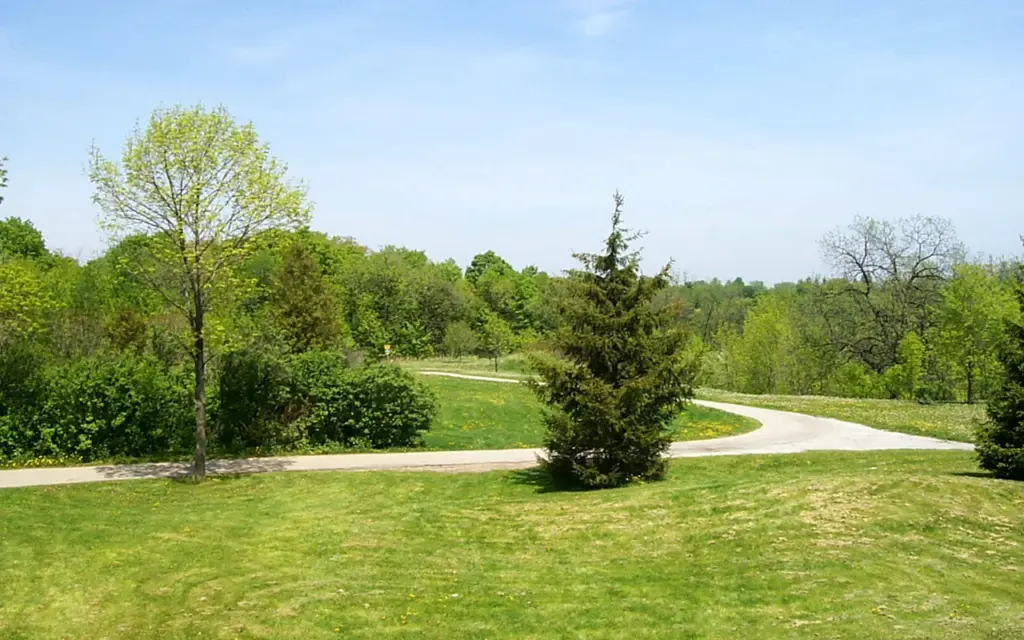
Address: 4169 Bathurst Street. TTC approach: Bathurst Street near Sheppard Avenue West. Allow: 45 to 90 minutes.
Earl Bales gives you choices before the group commits to a long walk. There are paved paths, a sensory garden, open areas and a wooded valley. Choose the level of effort at the start.
The City's park page lists the paths and facilities. The ski hill is a useful clue that the whole park is not flat. Do not follow someone downhill without thinking about the climb back.
For a short outing, stay with the upper park and gardens. For a longer walk, use a trail map and check whether wet ground has changed the route.
Pros: Several types of space, with a gentler option near the entrance. Cons: A route that crosses the valley can become much harder than a garden loop.
Choose it for a local outing with flexible plans. Be clear about which paths the group will use, rather than calling the entire park accessible.
19. Taylor Creek Park: best for a simple east-end out-and-back
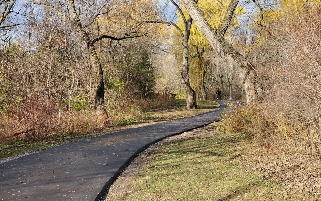
Address: 260 Dawes Road at the eastern end. TTC approach: Dawes Road. Allow: 45 to 90 minutes for a chosen section.
Taylor Creek is a long, narrow park. That makes a simple plan work well: enter at one end, walk for a set time and return the way you came. You do not need to build a large Don Valley loop to enjoy it.
The City's listing describes the route between Dawes Road and Don Mills Road. There are walking and cycling paths, so keep the centre clear when taking photos.
After heavy rain, be ready to turn back at water, fallen branches or a closure. A report about one part of the wider Don system does not confirm every Taylor Creek section.
Pros: A clear linear route and a useful local choice. Cons: Shared paths and wet low areas. A full end-to-end walk creates a different return trip.
Use a short out-and-back route for a first visit. Save the longer connection for a day when conditions and your return bus are clear.
How to make the day easier

Choose one main place, not five scattered parks. A two-hour ride between short walks is rarely the best use of an autumn afternoon.
Use the TTC trip planner with your actual day and return time. Check elevator alerts if needed. Line 5 and Line 6 have changed useful routes, but weekend work can still change a journey.
Treat the time ranges in this guide as planning allowances. They are not timed walks. Add the trip from home, photo stops, washroom breaks and any walk from the transit stop.
Bring water, a snack, a charged phone and shoes that grip wet leaves. Download the route before entering a ravine. Do not rely on a seasonal washroom as your only option.
For photos, stand fully off the travel path on a firm surface. Never step onto a planted slope or into a creek for a better angle. A quiet weekday morning is our first choice for more space, though it is not a promise of empty paths.
Planned portrait sessions can need a permit. Humber Arboretum explicitly requires permits for staged family, engagement and similar shoots. Check the current photography rules before hiring a photographer or setting a date.
If steady rain makes the walk a poor choice, use our Toronto rainy-day guide. For a date with a shorter walk and another activity, borrow a plan from our easy Toronto date ideas, then check its seasonal hours.
What does a family TTC outing cost?
The TTC's current fares are $3.30 for an adult using PRESTO, debit or credit, or $3.35 in exact cash. Children aged 12 and under ride free. Each passenger aged 13 or older needs their own payment card, ticket or device.
For two adults and two children aged 12 and under, budget $13.20 for an outward and return trip when each adult pays two $3.30 fares. That leaves food as an optional cost on a free park outing. A return started within the two-hour transfer window can cost less, but don't rush the walk just to meet it.
A correctly set PRESTO card charges $2.35 for youth aged 13 to 19 and $2.25 for seniors aged 65 and up. Debit and credit charge the adult fare. Cash does not give the same two-hour transfer. Monthly fare capping began September 1; a visitor planning one afternoon does not need to buy a monthly pass.
A short plan for tired children
Choose David A. Balfour's upper park or a short Beltline stretch from Davisville. Pick a turnaround point before anyone gets tired. Let children choose a few leaves to look at on the ground and compare their shapes. Leave plants and branches alone.
Keep the promised walk short. A hot drink or snack near your return station is easier to manage than carrying on into a second ravine because it looks close on a map. This is our better plan for a family with only an hour outdoors.
A riverside plan with a simple return
Use Old Mill Station and the Old Mill Road entrance to Étienne Brûlé. Walk north for the first part of your outing, then return by the same signed path. Stop earlier if a closure, high water or tired legs changes the day.
Don't promise salmon as part of the ticket. There is no ticket and no guaranteed sighting. Choose this route because the river gives the walk a clear shape. If the bank-side path is closed, change the outing rather than following an informal track.
A half-day garden and woodland plan
James Gardens with a Lambton Woods extension makes a sensible pairing because the places are beside each other. Start with the gardens. Add the wooded path only after checking conditions and everyone's energy. Budget time for the return uphill and the walk back to transit.
Humber Arboretum offers a similar choice within one site: gardens first, lower woods only if wanted. It is a stronger northwest option than spending much of the day crossing Toronto for a park with a similar purpose.
Set a washroom plan before entering the valley
Use the City's park washroom service alerts and the named park listing to check facilities. A washroom symbol does not establish that a building will be open at your arrival time.
If your group needs frequent stops, favour a short route with an easy street exit. Avoid relying on the closed Brick Works, Humber's weekday indoor centre or an unverified seasonal building. Carry needed supplies and decide when to turn back before entering a long wooded stretch.
What if October stays green, or the leaves have already fallen?
Keep the part of the outing that works without perfect colour. Étienne Brûlé still has the river. James Gardens offers small garden scenes. A short Beltline walk stays easy to fit around the rest of your day.
Do not replace a disappointing tree report with a last-minute, unplanned trip to Rouge or a provincial park. Those are longer journeys with different entrances and rules. For a local afternoon, changing the date or choosing a closer park is the better fix.
Why some popular suggestions are not in the main 19
Toronto Island and Cherry Beach are good places for lake views, but neither is our first choice for a trip focused on dense fall tree cover. The Island also adds a ferry to the plan. Trinity Bellwoods is convenient, but it offers a city-park outing rather than a deep ravine walk.
Riverdale Park East is stronger for a skyline view. The Necropolis and U of T campus are useful short city walks. They are alternatives for that purpose, rather than extra forest hikes squeezed into this list.
Frequently asked questions
Where is the easiest place to see fall colours by subway?
Étienne Brûlé Park is our first choice. Start at the Old Mill Road entrance near Old Mill Station on Line 2. Follow the signed river trail and turn back when you have used half your time. Check station service, river conditions and park alerts before leaving.
When is the best weekend for fall colours in Toronto in 2026?
There is no confirmed best weekend. Keep a few October dates open and check recent photos of the park you want to visit. Different trees and parts of the city change at different times.
Are these walks free?
The public park walks in this guide do not require a sightseeing ticket. Humber Arboretum's grounds are also free to visit. Transit, food, paid programs and photography permits are separate costs.
Which walks work with a wheelchair or stroller?
Start by checking the upper paths at David A. Balfour Park and the gardens near Humber Arboretum's main entrance. The Brick Works has accessible terrace viewpoints in normal operation, but recovery and path conditions need checking. Do not treat an accessible transit station as proof that an entire park route is step-free.
Can I visit Humber Arboretum without being a student?
Yes. Its public gardens and trails are open to visitors. Use the campus directions to reach the main entrance, and do not rely on the ecology centre being open on a weekend.
Is Rouge Vista Trail easy to reach by TTC?
It is a weaker choice while the Zoo Road north entrance is closed. Parks Canada lists a southern trailhead at 55 Twyn Rivers Drive. Check the complete approach and return trip before choosing it, and never assume a broad Rouge Park transit route reaches the right trailhead.
Can I walk through Mount Pleasant Cemetery for the leaves?
Yes, visitors can use its roads and walking routes respectfully. Give funerals and mourners space, follow staff directions and leave before the gates close. Check the current storm recovery notice for restrictions.
Should I go into a ravine just after heavy rain?
Choose another plan if there is flooding, fallen trees, damaged ground or a closure. Water can damage a path even when the sky has cleared. Check official notices and turn back at a barrier instead of trying to find a way around it.