


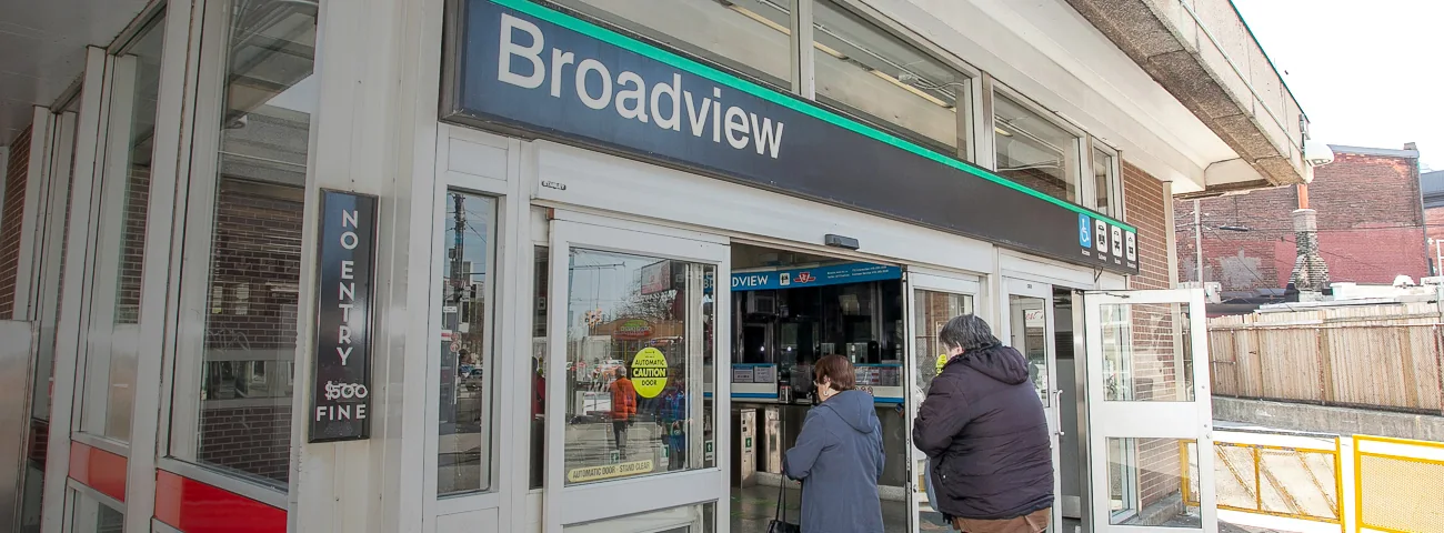
The best way to walk Toronto's subway routes is to start with a short piece of Line 2. Christie to St. George is our first pick for shops, food and easy exits. Broadview to Woodbine is the better choice for a longer east-end outing. You can stop at several stations along the way.
For something different, walk Eglinton West around Oakwood and Little Jamaica. Skip a whole Vaughan-to-Union challenge on your first outing. The train takes a route that does not translate into one simple walking street.
The main catch is the return trip. A station on the map is useful only if its entrance and train service are open when you reach it.
Station pages, fares and neighbourhood sources checked October 9, 2026. These are suggested public-street routes. We haven't timed or personally walked them for this guide.
Choose a route you can enjoy, then extend it
| Route | Choose it for | Where to stop early | Main drawback |
|---|---|---|---|
| Christie to St. George along Bloor | A first walk with food and browsing | Bathurst or Spadina | Busy crossings and narrow shopfront sidewalks |
| Broadview to Woodbine along Danforth | A longer walk with changing shopping strips | Chester, Pape, Donlands, Greenwood or Coxwell | Traffic, uneven ground and little shelter in bad weather |
| Cedarvale to Oakwood around Eglinton West | Little Jamaica and a shorter Line 5 outing | Oakwood | Some old maps still call Cedarvale Eglinton West |
| Bloor-Yonge to Union using Yonge and Front | Downtown sights and straightforward navigation | Wellesley, College, TMU, Queen or King | Crowded downtown blocks; Union is west of Yonge |
| Sheppard-Yonge to Bayview along Sheppard | Trying a different line without walking it all | Return from Bayview | Wider roads and a less relaxed shopping walk |
Don't turn the first walk into a pace test. Choose a station you can comfortably reach, allow time for a break and decide there whether to continue. Shops, crossings and food stops make a walking day very different from a fitness app's moving time.
The TTC's current route maps show Lines 1, 2 and 4, plus the Line 5 Eglinton and Line 6 Finch West light rail routes. The diagram shows train connections. Use a walking map for the street route.
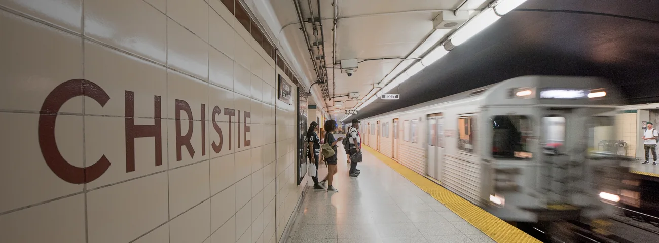
Christie to St. George: our best first station walk

Street route: Leave Christie Station, walk south to Bloor Street West, then head east along Bloor. Continue past Bathurst and Spadina to St. George Street. Follow the station entrance signs for your return.
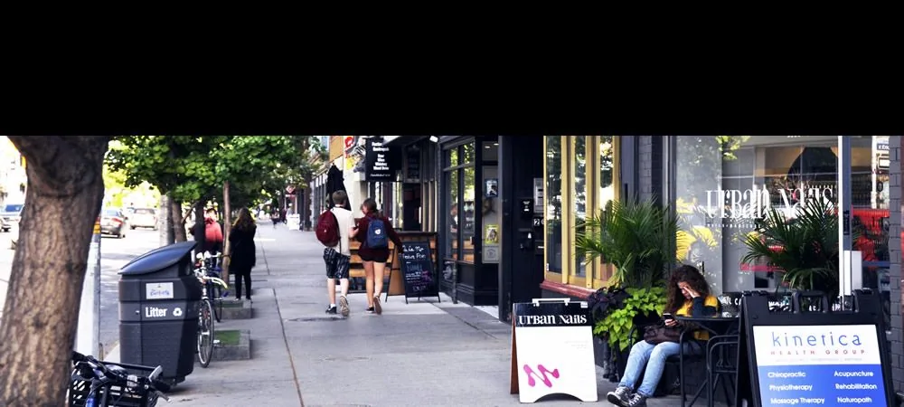
The first stretch is Korea Town, between Christie and Bathurst. It is a useful place to stop for Korean food, groceries and shops before carrying on. The next stretch brings you into the Annex, where browsing is the point. Korea Town BIA
The Bloor Annex BIA covers Bloor from Bathurst to Madison Avenue. Its public-space projects include small parkettes, planting and murals. Look around instead of treating these blocks as kilometres to get through. Bloor Annex shops and public spaces
Why it wins: You have several chances to stop, eat or catch a train. You don't need to commit to an isolated stretch before finding out whether your shoes are comfortable.
What isn't great: Bloor is busy. Narrow pavement, people leaving shops, bikes and turning vehicles make a steady marching pace unrealistic. Stop at a crossing to read your phone. Don't weave through people to preserve an app's pace.
For a shorter version, finish at Bathurst. For a longer day, carry on east toward Bloor-Yonge. Decide at Spadina or St. George before adding that extension.
Christie's current station page confirms elevator access. That is a useful starting point, but it does not certify every shop entrance or the full pavement route. Check the return station and elevator alerts separately. Christie Station access
Choose this route when you want an easy introduction to walking the city with a train close by.
Open Christie to St. George walking directions. Keep the main route on Bloor if an automatic suggestion sends you onto a different street.
Broadview to Woodbine: the best longer food-and-shops route
Street route: From Broadview Station, walk south to Danforth Avenue. Turn east and stay on Danforth toward Woodbine Avenue. Woodbine Station is north of Danforth, on the east side of Woodbine.
This walk gives you a clear main street and a changing set of shopping strips. Broadview, Chester and Pape offer early exit choices. Donlands, Greenwood and Coxwell let you make the walk longer without making Woodbine an obligation.
The neighbourhood is bigger than one BIA. Broadview Danforth, GreekTown and Danforth Mosaic are different business areas along the corridor. Danforth Mosaic runs from Jones to Westlake. Don't stop noticing the street once you leave the best-known restaurant blocks. City BIA descriptions and Danforth Mosaic
Why we'd choose it: It is a proper outing with plenty to look at. You can make lunch the halfway point, or stop for food when you decide you've walked enough. The shops and restaurants are the attraction, not a promised uninterrupted trail.
What to watch: Don't call the route flat just because the train map is straight. There are changes in grade, uneven slabs and many intersections. In hot weather, the exposed stretches can feel harder than the station spacing suggests.
A skyline detour to Riverdale Park East means heading south on Broadview before returning to Danforth. It adds a separate leg and a hill. Don't quietly count that detour as part of the straightforward station walk.
The City also offers a self-guided Danforth architectural walk. Use its route notes when you want more than restaurant windows. City architectural walking tours
Choose this for a longer afternoon. Finish at Pape or Coxwell if the food stop, weather or your feet have changed the plan.
Open Broadview to Woodbine walking directions. Broadview Station and Woodbine Station list the actual entrances and access details.
Cedarvale to Oakwood: walk Little Jamaica along Eglinton West
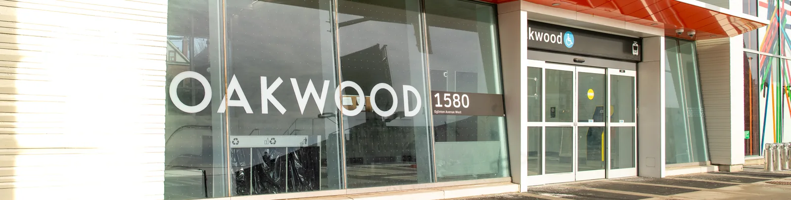
Street route: Start at Cedarvale Station near Allen Road and Eglinton Avenue West. Walk west along the public Eglinton sidewalks toward Oakwood Avenue. Use the marked crossings. Oakwood Station gives you a simple place to finish or return by train.
Cedarvale is the current station name. Older maps and instructions often say Eglinton West. Cedarvale connects Line 1 and Line 5, while Oakwood is a Line 5 station. This is a light rail corridor, even where the train runs underground. Cedarvale Station and Oakwood Station
Little Jamaica is a Jamaican and Caribbean cultural area. It is not a generic name for every African business district. The BIA describes its core along Eglinton West between Marlee and Dufferin, but the neighbourhood's cultural story is wider than a business boundary. Little Jamaica BIA
The current local directory lists food businesses, grocers, fashion shops and barbers. Use it to choose a stop that interests you, then check that business's own hours. A directory entry does not promise that a kitchen is serving when you arrive. Little Jamaica business directory
Why it is different: This route gives you a reason to leave your usual downtown walk. The neighbourhood's music and business history are part of the visit. Reggae Lane, near 1529 Eglinton Avenue West, is another cultural stop described by Toronto's tourism organisation. Check the public approach and respect the businesses around it. Little Jamaica and Reggae Lane
What we wouldn't promise: Music outside, a street barbecue or a busy Friday-night scene are not permanent attractions. Check an organiser's dated programme if you want a specific event.
Choose this for a focused Little Jamaica outing. Continue west toward Dufferin only if you want a longer visit and have checked the walking route and return stop.
Open Cedarvale to Oakwood walking directions.
Bloor-Yonge to Union: straightforward, but crowded
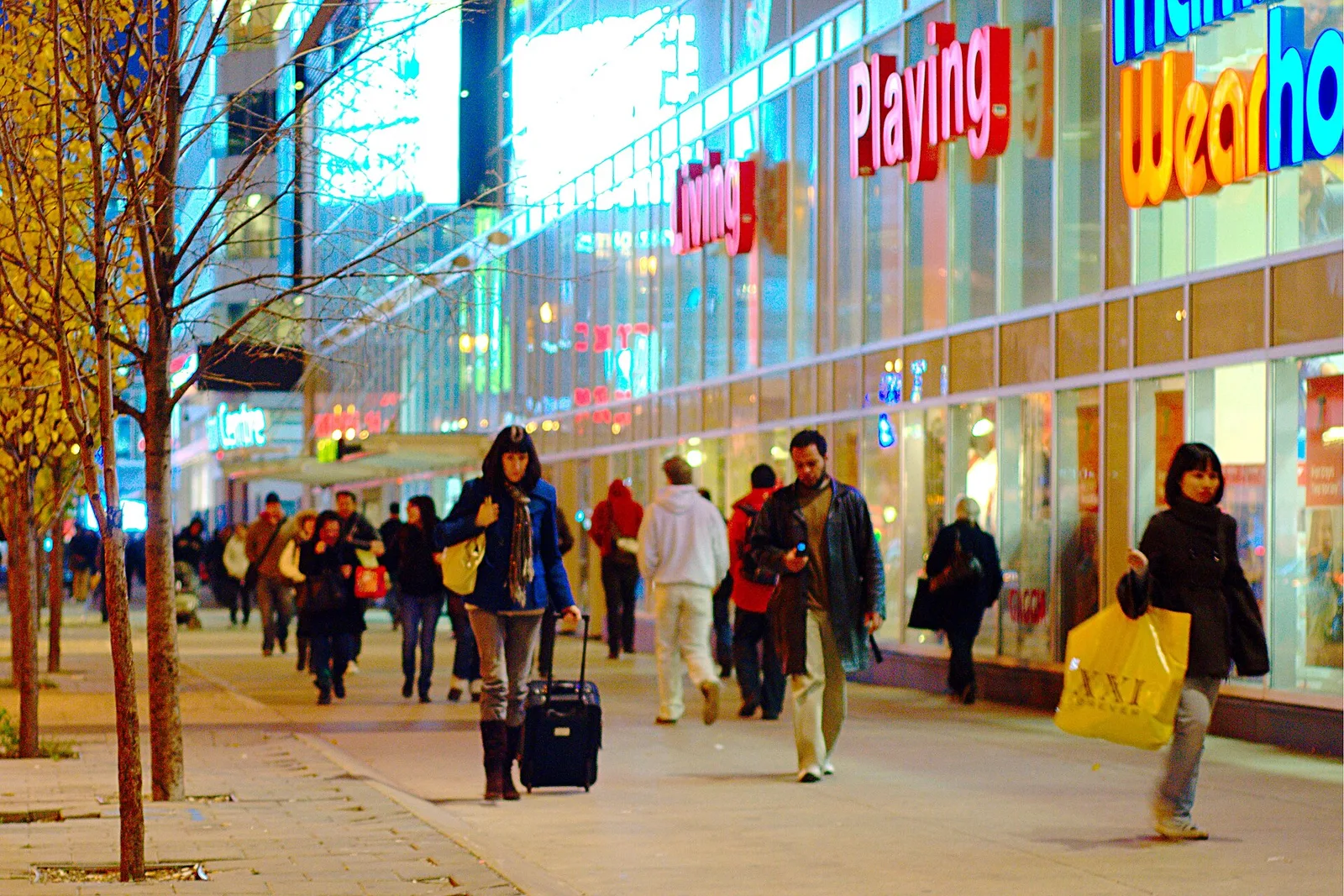

Street route: From Yonge and Bloor, head south on Yonge Street. At Front Street, turn west toward Union Station. Follow public pedestrian entrances for the concourse or subway.
This is our pick when you want a downtown walk that is easy to explain to a friend. You pass several Line 1 stops and can end the walk before Union. It also works in reverse, with more climbing on some stretches.
The good: You don't have to plan a long nature route or find a distant trail entrance. If your visit is about street life, shops and watching the city change block by block, Yonge does the job.
The bad: The busiest blocks are crowded and noisy. A lunch-hour or weekend visit won't feel like an empty walking course. This is weaker than the Bloor or Danforth options if you want room to spread out or a calm conversation.
The station at Yonge and Dundas is now TMU Station. Older guides call it Dundas Station. Use the TTC's current name when looking up entrance or service information. TTC station renamings
The waterfront is a separate extension south of Front. Union is not at the lake, and walking past it toward Queens Quay adds another leg. Pick one finish rather than accidentally turning a short outing into an all-day walk.
Choose this when simple navigation matters. Pick Bloor or Danforth when you want a less crowded browsing walk.
Open Bloor-Yonge to Union walking directions. Check the suggested streets before starting.
Sheppard-Yonge to Bayview: try Line 4 in a small piece
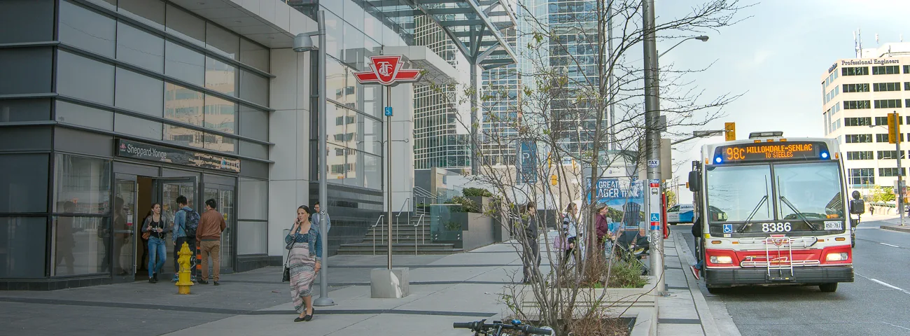
Street route: Leave Sheppard-Yonge Station for Sheppard Avenue East. Head east on the public sidewalks toward Bayview Avenue. Finish at Bayview Station using its marked pedestrian entrance.
This is a different sort of walk. Larger roads and junctions make it less cosy than Bloor's shopfront streets. Choose it because you want to see this part of North York, not because every block is a destination in itself.
Why it belongs here: Line 4 is often left out of the subway-walking challenge. A short Sheppard segment lets you try the idea without adding every station from Sheppard-Yonge to Don Mills.
The drawback: The gap between stations is a bigger commitment than a quick downtown block. Don't choose this as the first outing for someone who needs frequent indoor rest stops. Use a walking map, check the crossings and plan your return before leaving Sheppard-Yonge. Sheppard-Yonge Station layout
North-south Yonge challenges are different again. York Mills sits in a lower area, and the stretch toward Sheppard includes the Highway 401 crossing and a climb. Reversing the route does not remove every hill or busy junction.
Choose the short Line 4 version for curiosity. Save a waterfront-to-Steeles Yonge challenge for a day planned around distance and stamina.
Open Sheppard-Yonge to Bayview walking directions.
Can you walk the whole Bloor-Danforth subway line?
Yes, you can plan a public-street walk between the station areas. That does not mean walking beside the tracks, entering a tunnel or following every bend in the railway. The street distance is different from the train distance.
Start with the current station sequence and build the walking route in parts. In the core, Bloor and Danforth make the idea easy to understand. At either end, the train alignment and station access roads require more planning.
Use Kipling and Kennedy as station destinations, not permission to enter rail property. Check the walking approach to each entrance. Don't assume Bloor or Danforth alone takes you to both terminal doors.
For a full challenge, prepare at least one exit plan in the west, one in the centre and one in the east. Decide which station will be your next finish before setting off from a rest stop. You can complete the line over several outings and still see the city properly.
Our verdict: The full route is a worthwhile personal project for someone who likes long walks. It is a poor first-date plan or first fitness outing if finishing the whole thing becomes more important than enjoying it.
Why Vaughan to Union needs a separate plan
The western side of Line 1 passes through routes that aren't one continuous pedestrian main street. Vaughan Metropolitan Centre is outside Toronto. Build a legal street route between chosen stations, check major-road crossings and calculate that walking journey separately.
The Yonge side is easier to describe as a street walk. Even there, “mostly downhill” does not mean easy. Hills, crowds, weather and the distance between comfortable rest stops still count.
What about Kennedy to Rouge Park?
That is a Scarborough walking extension, not a subway-parallel route. Rouge National Urban Park has several different places to enter. A distance quoted for “Rouge Park” is not useful until you name the actual destination.
Not confirmed yet, checked October 9: the often-shared estimate of roughly 17 kilometres from Kennedy to the Rouge is a low-confidence planning lead. It depends on the entrance and street route. A current pedestrian route to a named public entrance would change the answer. Don't set out with only that number.
Make the breaks and return trip part of the plan
Pack water, a snack and shoes you already know are comfortable. A light extra layer is useful when you stop moving. A small blister kit is easier to carry than an afternoon of sore feet.
Check your feet when you stop. You don't have to match somebody else's speed, steps or longest walk. If a large meal makes restarting unpleasant for you, choose a smaller snack while walking and save the full meal for the finish.
A bench, washroom and indoor café are different kinds of stops. Don't assume a park washroom is open just because the park is open. Check the facility and season, and keep a second option. Our Toronto public washroom guide is a useful planning companion.
If you use podcasts, keep enough awareness for bikes, traffic and people around you. Stop the audio for a complicated crossing. For a group walk, agree on the pace, meeting point and an easy station where someone can leave early.
The adult TTC fare is $3.30 with PRESTO or a debit or credit card, and $3.35 cash. Eligible electronic payments include a two-hour transfer; cash does not. Use the same payment method when transferring. Current TTC fares and transfers
That two-hour window starts with your first tap, not when the walk ends. If you ride to the starting point, browse for hours and ride home, budget for another fare. Children 12 and under ride free. Discounts for other groups have separate rules.
Check TTC service alerts before leaving and before the return trip. A weekend closure can turn an easy subway exit into a replacement-bus journey.
Add variety without losing the station exit
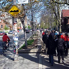
Choose a side street, parkette or public laneway for a short detour, then return to the main route. Walking on the other side of a street can also change what you notice. Use marked crossings instead of crossing traffic just to see a shop.
A destination helps if you keep repeating the same walk. Pick an unfamiliar station, one street you want to explore and a place to end. You don't need a fixed route through every block, but you do need a reliable way home.
For more context, the City offers self-guided architectural walks and Cultural Hotspot tours. Shawn Micallef's updated edition of Stroll is another way to look beyond the obvious sights. Its publisher describes walking tours and observations of Toronto, rather than a transit timetable.
If you want a trail day instead, separate it from this station-walking plan. Waterfront, Humber, Beltline and Don Valley routes have different exits, weather exposure and washroom gaps. Don't assume a long trail chain has the same easy train access as Bloor.
The West Toronto Railpath, a Riverdale crossing and routes through the Port Lands also need current access checks. A past account of a continuous route does not prove today's construction detours are gone. Read our ravine guide after heavy rain before making a valley detour.
For the main-street walks, Toronto's narrow sidewalk problem explains why an ordinary trip can feel crowded. Pick a different time or a shorter section instead of blaming pedestrians for using the space.
Maps for the other places mentioned
The maps below cover extra branches and supporting names mentioned in this guide. Maps labelled "Search results" do not confirm a business is open or identify a verified branch. Match the name, address and current official details before travelling. Open only the maps you need.
Map: Christie Station
Map: St George Station
Map: Broadview Station
Map: Woodbine Station
Map: Cedarvale Station
Map: Oakwood Station
Map: Bloor Yonge Station
Map: Union Station
Map: Sheppard Yonge Station
Map: Bayview Station
Map: Reggae Lane
Map: Christie Pits
Map: Kipling Station
Map: Kennedy Station
Frequently asked questions
What is the best Toronto subway route to walk first?
Start with Christie to St. George along Bloor Street West. It has food, shops and several station exits. Broadview to Woodbine along Danforth is our longer alternative. You can shorten either walk without losing the outing.
Does walking a subway route mean following the tracks?
No. Use public sidewalks and legal crossings between station areas. Train routes can cut through land that pedestrians cannot enter. Never use tunnels, tracks or railway corridors as a shortcut.
Can I walk Bloor and Danforth without doing the whole line?
Yes. Choose two stations and build a route along the main street between them. Bathurst, Spadina, Pape and Coxwell are useful points to decide whether to finish or continue. Check current train service before relying on any station.
How long does it take to walk the whole TTC Line 2?
There is no useful single time for every walker. Your street route, breaks, weather and pace change the total. Plan it with a pedestrian map and split it into sections before attempting the whole trip. Another person's app screenshot is not a tested itinerary.
Is the walk from Yonge and Bloor to Union all on Yonge Street?
No. Walk south on Yonge, then west on Front Street to Union. The station is west of Yonge and north of the waterfront. Going onward to Queens Quay is a separate extension.
Is Eglinton West Station still called Eglinton West?
Its current TTC name is Cedarvale. The station connects Line 1 and Line 5 Eglinton. Oakwood is a nearby Line 5 station useful for visiting Little Jamaica. Use current names when checking service and entrances.
Are these station walks fully wheelchair accessible?
We have not audited the complete pavement routes. Check both stations' accessible entrances and live elevator alerts, then examine crossings, slopes and any planned shop stop. A station elevator does not certify the whole outing. A short section is easier to adjust if access conditions change.
Can I use the TTC two-hour transfer after a long walk?
Only if the next tap falls within the valid window that began with your first tap. The two-hour transfer applies to eligible electronic payments, not cash. A long walk with shopping or lunch will often need a new fare for the ride home. Check the current TTC rules for your payment method.
Pick one short route and a clear finish. If you're still enjoying the walk at the next station, extend it there.