

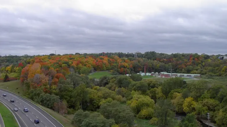

Toronto ravines can become dangerous faster than they look. A creek that was ankle-deep in the morning can rise after a storm upstream. Trails can wash out, mud can hide a broken edge and sewage-contaminated water can enter rivers after intense rain.
Our verdict: stay out of ravines during a heavy storm and give them time afterward. The Lower Don and Bayview area is the first place we would avoid when flooding is reported. The Vale of Avoca and Mud Creek are especially deceptive because narrow urban channels can rise quickly. The main mistake is trusting the weather above your head. Rain somewhere else in the watershed can still send water toward you.
This guide does not declare that all 20 places are closed after every storm. It explains where low trails, creek crossings and valley routes deserve a fresh check. Use the Toronto and Region Conservation Authority flood status and City closure notices on the day.
What to do right now
If rain is heavy, a creek is rising or water covers the trail, turn around. Do not test the depth. Keep children and dogs away from the bank. Never enter moving water to retrieve a ball, bike or phone.
For an immediate life-threatening emergency, call 911. Report a flooded City trail, fallen tree or damaged path to 311 when it is safe to do so.
Check the TRCA flood warning page before entering a ravine after a major storm.
Why Toronto creeks rise so fast
Rain lands on roofs, roads and parking lots that cannot absorb much water. Storm drains move it toward creeks. The water arrives faster than it would in a less paved watershed.
Toronto's ravines are steep in places. Narrow valleys push water through small spaces. Culverts and bridges can catch branches and garbage, which changes the flow and raises water near the blockage.
The storm does not need to be centred on your trail. Water follows the watershed. A sunny break downtown does not prove that the upstream creek is safe.

TRCA flood messages in plain language
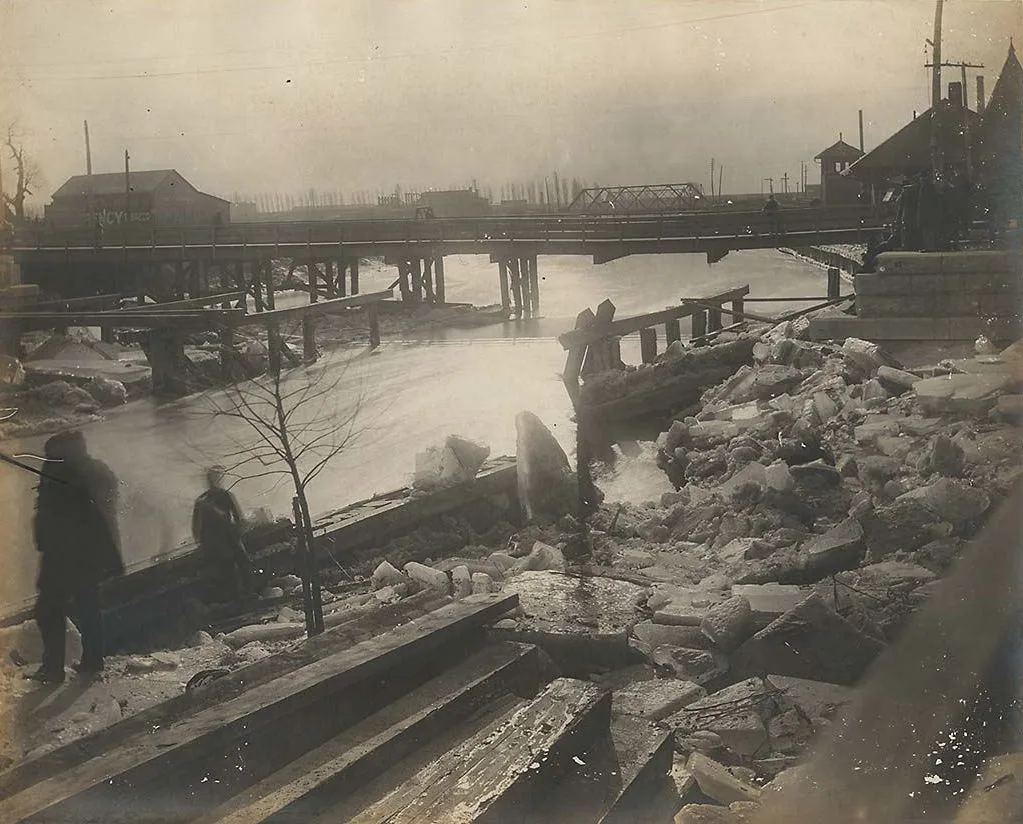
TRCA uses several types of messages. Read the current message itself because the affected watersheds and risks vary.
- A Watershed Conditions Statement can warn about water safety or a general flood outlook.
- A Flood Watch means flooding is possible in specific areas.
- A Flood Warning means flooding is happening or expected.
None of these is an invitation to go look. A dramatic creek photo is not worth a rescue.
20 Toronto ravines and low trail areas to recheck after storms
This map shows an approximate area. Open the full map.
1. Lower Don Trail and Bayview Avenue
The Don Valley collects water from a large urban area. Low sections near the river and roads can flood during severe storms.
Skip this route when Bayview or Don Valley closures are reported. Do not go around a barrier because the pavement looks visible farther ahead.
2. Mud Creek near Evergreen Brick Works
Mud Creek runs through a steep ravine and reaches the Don Valley near the Brick Works. Trails, stairs and slopes can become muddy and slippery.
Choose the main Brick Works grounds after light rain. Skip the ravine path after a major downpour until conditions are checked.
3. Vale of Avoca and Yellow Creek
The creek is narrow and urban. It can look small enough to dismiss. That is exactly why it deserves respect.
Do not stand on the edge for a video. Banks can be soft even when the water has started to fall.
4. Moore Park Ravine
The Beltline route through Moore Park meets Mud Creek and several slopes. Wet leaves and mud can turn an easy walk into a fall risk.
Use a paved street route when the ground is saturated. This is not the day for smooth-soled shoes.
5. Crothers Woods
Crothers Woods has steep trails used by walkers and mountain bikers. Riding wet dirt damages the trail and increases the risk of losing control.
Wait until the trail drains. Choose pavement if your tires leave a deep rut.
6. Taylor Creek Park
Taylor Massey Creek runs beside long sections of trail. Low areas and underpasses deserve a close look after heavy rain.
Turn back at water on the path. An underpass can deepen toward the middle.
7. Warden Woods
The Taylor Massey Creek valley continues through Warden Woods. The natural setting can hide how urban the drainage system is.
Keep dogs leashed and away from fast water. Use higher streets as the backup route.
8. Wilket Creek and Sunnybrook Park
Wilket Creek has a history of erosion and storm damage. Boardwalk and trail work can change access.
Check City notices before the trip. A route described in an old hiking post may no longer be open.
9. Burke Brook through Sherwood Park and Sunnybrook
Small creek valleys can become slick without producing dramatic flooding. Bridges and wooden surfaces may stay wet longer than nearby pavement.
Go later, not immediately after the storm. A quiet neighbourhood entrance does not tell you the condition below.
10. West Don River near Earl Bales Park
Trails descend toward the river and cross varied terrain. Saturated slopes and low routes are the concern.
Stay on official paths. Do not create a shortcut around mud because that widens damage and may lead onto an unstable bank.
11. G. Ross Lord Park and the West Don
The reservoir and river infrastructure may make the area look controlled. It still responds to watershed conditions.
Respect barriers and operations. Never enter a restricted dam or channel area.
12. German Mills Creek
The creek crosses the north end of Toronto and connects with larger Don watershed systems. Conditions can vary by section.
Check the exact trail segment. Do not assume a dry upstream entrance means every underpass is clear.
13. Humber River at Étienne Brûlé Park
The Humber is a major river, not a decorative park stream. Low paths and banks can become unsafe after storms.
Watch from a safe high point only if official conditions allow. Keep well back from the edge.
14. Lambton Woods and James Gardens
These popular Humber-side areas combine wooded trails, slopes and river access. A calm garden does not make the river bank safe.
Choose the maintained upper paths after moderate rain. Skip unofficial bank trails.
15. Humber River near the 401 and West Humber Trail
The northwestern trail network passes the river, bridges and highway infrastructure. Water and debris can collect in low areas.
The long linear route has fewer easy exits than a small park loop. Turn around early instead of hoping the next underpass is open.
16. Black Creek and Black Creek Parkland
Black Creek drains a heavily urbanized area. Fast runoff and channelized sections can change quickly.
Do not enter the concrete channel or stand beside a culvert. These are drainage structures, not play spaces.
17. Mimico Creek through Etobicoke
Mimico Creek passes parks, roads and neighbourhood paths. Flood risk is local and changes along the route.
Check each crossing. Water over one path is enough reason to use a street detour.
18. Etobicoke Creek near Centennial Park
The creek forms part of Toronto's western edge. Trails can continue into Mississauga, where separate closure notices may apply.
Check both municipal sources if your route crosses the boundary. One city's open page does not cover the whole trip.
19. Highland Creek in Scarborough
Highland Creek has several branches and a broad watershed. Trails near Morningside Park and the University of Toronto Scarborough can sit close to water.
Use signed main routes and avoid eroded edges. Report a washout instead of stepping around it.
20. Rouge River and Rouge National Urban Park
The Rouge is a large natural system with Parks Canada rules and alerts. Some sections feel remote compared with central ravines.
Check Parks Canada conditions before leaving. A remote trail is the wrong place to discover a bridge is closed.
What flooded water can contain
Flood water can contain sewage, fuel, road waste, bacteria, sharp debris and animal waste. Clear water is not proof of clean water.
Keep cuts and bare feet out. Wash skin and gear that touched flood water. If you become ill after exposure, contact a health professional and explain what happened.
Do not let a dog drink from a flooded creek. Rinse paws and fur after contact.
Why banks remain dangerous after water drops
Moving water cuts into soil. The top can look solid while the ground below has washed away. A person, dog or bike can add enough weight to break the edge.
Falling branches are another delayed risk. Saturated soil loosens roots. Wind after rain can bring down a tree that survived the storm itself.
Give the ravine time. A dry forecast the next morning does not instantly repair it.


Trail signs that mean turn around
- water moving across the route
- a barrier, closure sign or caution tape
- a fresh crack along the path edge
- leaning trees or exposed roots beside a drop
- mud deep enough to leave large footprints or tire ruts
- a bridge deck covered by water or debris
- a culvert making a new loud or pulsing sound
- a creek that is brown, fast and carrying branches
Do not move a City or TRCA barrier. It may protect a damaged section that is hard to see.
What not to do
Do not walk through moving water. Do not drive through a flooded underpass. Do not climb onto a bridge rail for a photo. Do not clear a blocked culvert yourself. Pressure can release suddenly.
Do not let children throw sticks into a swollen creek from the bank. They move closer with each throw.
Do not share the exact location of a dangerous spectacle as an attraction. Share the official warning instead.
A safer rainy-day ravine plan
After light rain, choose a paved upper trail with several street exits. Keep the walk short. Wear shoes with grip and bring a charged phone.
After heavy rain, choose an indoor plan or a neighbourhood walk on high streets. The ravine will still be there later.
If you want to see the water system safely, visit Evergreen Brick Works when its main public areas are open and follow staff signs. Do not descend into closed creek paths.
How to check a route before leaving
- Read the current TRCA flood message.
- Check City park and road closure notices.
- Check Parks Canada alerts for Rouge National Urban Park.
- Look at the hourly forecast for the full watershed, not only your start point.
- Plan a street-level backup route.
- Tell someone where you are going if the route is remote.
User posts can show a problem quickly, but they can also be old, incomplete or taken from a safe zoom lens. Use them as a warning to verify, not proof that a trail is open.
Keep exploring Toronto
- Six Toronto-area nature trails for safer dry-weather walks
- The best Toronto beaches without an island ferry
- Where to go stargazing near Toronto
Official pages to check
Prices, rules, hours and project details can change. Check these primary pages before you spend money or make a special trip:
Frequently asked questions
How long should I wait after heavy rain before entering a Toronto ravine?
There is no safe fixed number of hours. Check TRCA messages, City closures and the actual trail. Water can fall while banks and trees remain unstable.
Can a Toronto creek rise when it is not raining where I am?
Yes. Rain upstream can move through the watershed toward your location. Check the wider radar and flood message.
Is it safe to walk through shallow water on a trail?
No. Moving water can hide a hole, damaged pavement or strong current. Turn around and use a dry route.
Who closes Toronto ravine trails?
Responsibility may involve the City, TRCA or Parks Canada depending on the land. Follow posted barriers and the agency notice for the exact location.
Should I report a flooded trail to 311?
Yes, when it is a City trail and you can report safely. Give the exact location, nearby entrance and a photo from a safe distance. Call 911 for an active rescue or immediate danger.
Can my dog swim in a creek after rain?
No. Fast water, contamination and unstable banks make that unsafe. Keep the dog leashed and away from the edge.
Which Toronto ravine floods first?
There is no reliable citywide first-place answer. Conditions depend on where rain falls and how each watershed responds. The Lower Don and other low valley routes deserve immediate caution when warnings are active.