


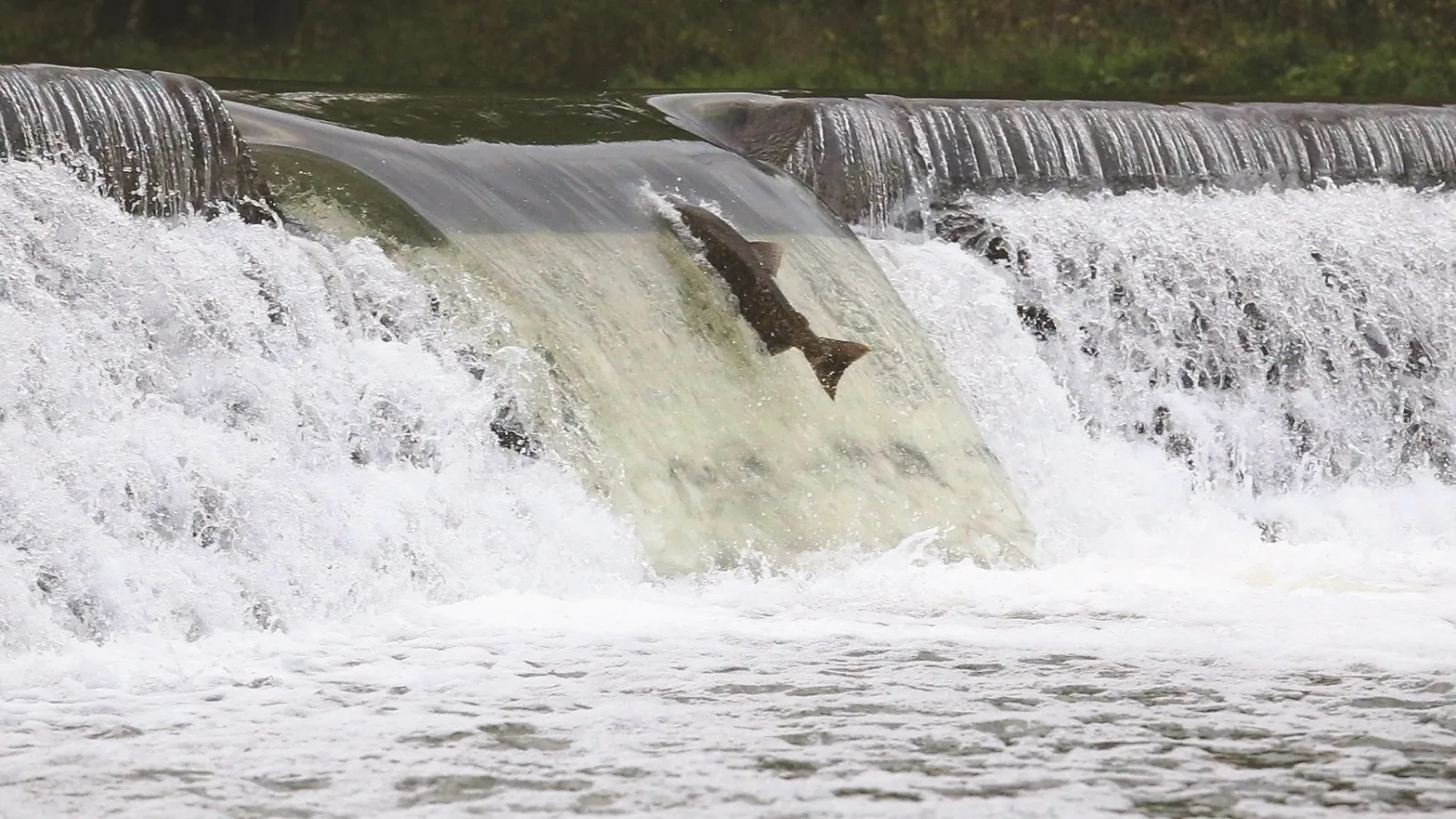
Etienne Brulé Park is our first choice for seeing the salmon run in Toronto. You can reach it from Old Mill subway station, and the Humber River is the reason to go. Morningside Park is our best Scarborough alternative for a creek walk. For a guided visit still ahead this month, TRCA lists Old Mill on October 17 and Charles Sauriol on October 18, 2026.
The main catch is simple: salmon don't follow a show schedule. A famous spot can be quiet on the day you visit. Choose a pleasant walk with a chance of seeing fish, rather than building an expensive day around one leap.
For most Toronto visitors without a car, Port Hope is too much travel for a short outing. Its fish ladder is a good choice for a planned day trip after checking current migration and access information. It isn't the easiest answer to this search.
Sources checked October 9, 2026. The photographs show the actual rivers, parks and salmon programmes. They are archive images, not proof of fish activity today. Our recommendations compare access and the outing. They are not visitor-review scores or measured odds of seeing fish.
Quick picks and the best time to go
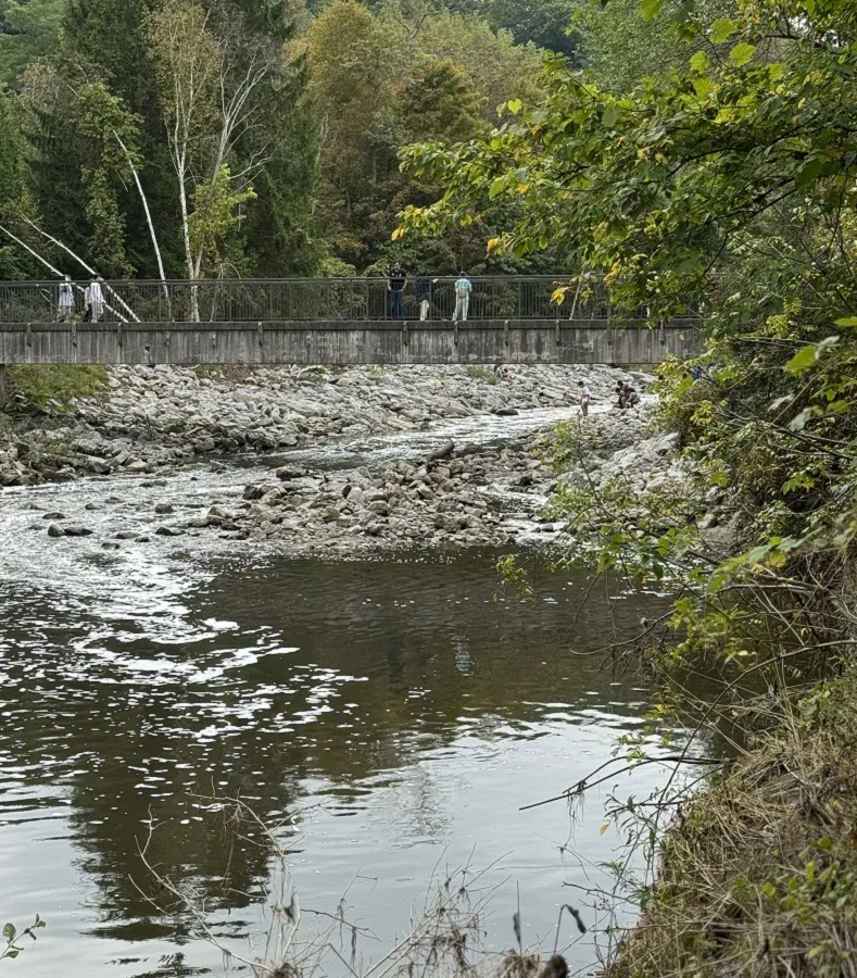
September and October are the main months to plan around. Different species and rivers have different timing. Some fall migration continues into November. There is no verified single peak date for all Toronto rivers in 2026.
| Your plan | Our pick | Main advantage | Main drawback |
|---|---|---|---|
| First visit by subway | Etienne Brulé Park | Simple trip from Line 2 | Busy viewing points and construction limits |
| Family walk in Scarborough | Morningside Park | A creek and park outing | October 4 event has passed; valley access adds a hill |
| Guided Don River outing | Charles Sauriol | Free October 18 walks | No public washroom at the trailhead |
| Humber walk closer to Weston | Raymore Park | A different stretch of the same river | Less direct from the subway |
| Mississauga walk | Erindale Park | Credit River trails and room to explore | Local transit and current trail checks |
| Eastern GTA fish ladder | Bowmanville Creek | Purpose-built fish passage | Long journey from central Toronto |
| Full day out | Port Hope | Fish ladder and a town to explore | Travel cost and time |
Plan to visit in daylight. Give yourself time to stand still and look into a clear stretch of water. A salmon resting in a pool can be harder to notice than a fish jumping over a barrier.
Rain can affect river levels and migration. Do not turn “after rain” into advice to visit a flooded river. Stay away during and after heavy rain until conditions are safe. TRCA's fall flood advice explains why nearby paths and banks can be dangerous too.
Storm recovery can affect ravine access. Check the City's storm recovery page before using a ravine trail. A general park listing is not a promise that every riverside path is open.
1. Etienne Brulé Park: the best first stop by TTC
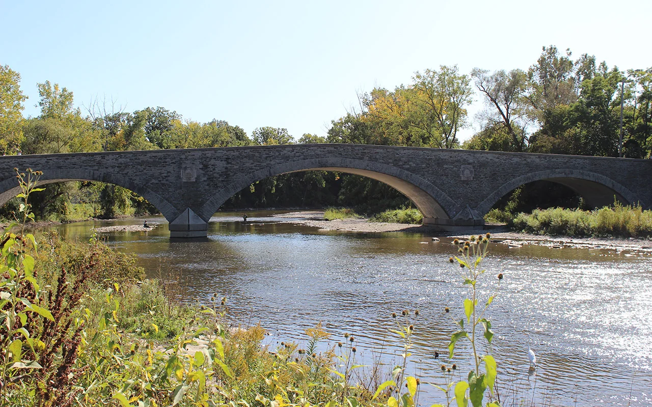
Best for: a short salmon outing from the subway.
Start at the park entrance by Old Mill Road and the Humber River. Old Mill station is on Line 2. TRCA describes its event meeting point beside the park parking lot as about a 10-minute walk from the station. Allow longer if you move slowly or stop on the way.
Use the public riverside trail and established viewing areas. Look for fish in the water as well as at the low river barrier. You don't need to climb onto a structure to make the visit worthwhile.
The appeal is the easy trip. You can try a short visit, leave if conditions are poor, and come back another day without buying an attraction ticket. That matters more than a dramatic video of one lucky afternoon.
Pros: direct subway approach, a well-established salmon location and a river walk that still works as an outing when fish are scarce. Cons: narrow viewpoints can get busy, and current construction limits parking. Sloping approaches also matter if you use wheels.
TRCA lists a free guided event here on Saturday, October 17, 2026, with starts at 10 a.m. and 1 p.m. Register through the official Etienne Brulé salmon walk page. The morning end time contains an apparent typo on that page. Check your booking confirmation rather than planning around it.
Choose this for your first try. Follow the event's meeting instructions if booked. The map below marks the park entrance, not a guaranteed fish position.
2. Morningside Park: our Scarborough family walk
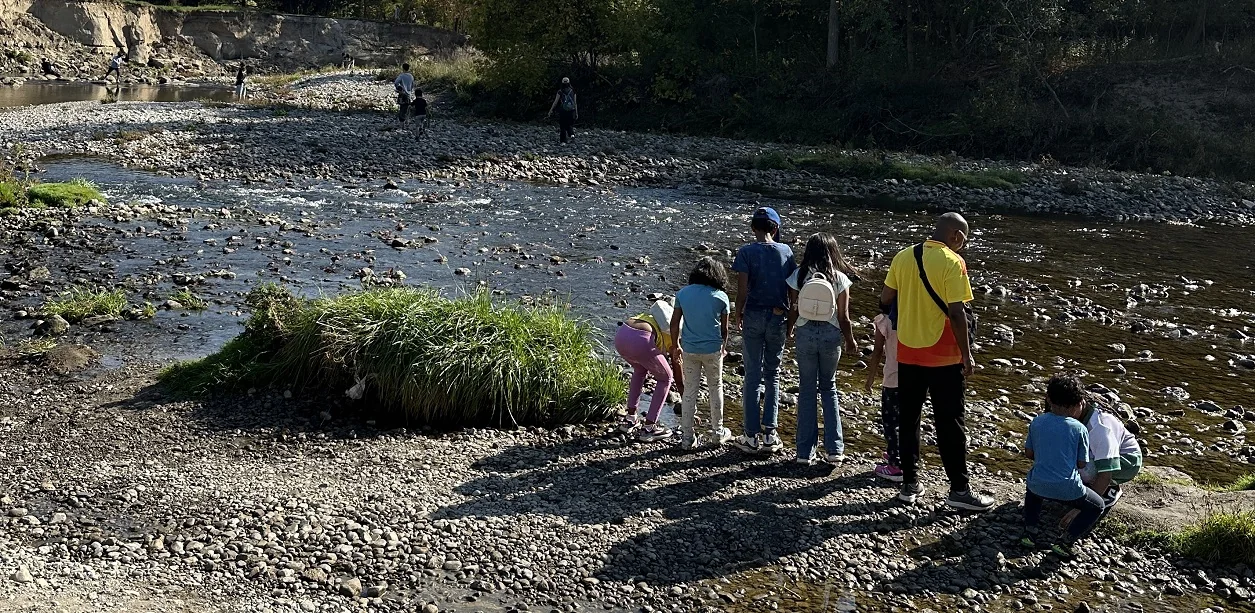
Best for: Scarborough families and children who like asking questions.
Morningside Park is at 390 Morningside Avenue. Highland Creek runs through the valley. Use the signed park entrance and trails, rather than trying to find a shortcut down a slope beside the road.
The river setting is different from a tight fish-ladder viewpoint. Look into the creek from public bridges and safe paths. Seeing a fish move through shallow water is part of the experience. Don't expect constant jumps.
TRCA's free Adventures of Salmon event was held here on October 4, 2026. That date has passed. The programme page explains its salmon learning activities, but it is not a booking for another October 4 outing. Use the October 17 or 18 walks below if you want a scheduled guided visit this month.
Pros: a large natural setting, creek views and a useful east-end option. Cons: the descent from Morningside Avenue adds effort, a park walk can become longer than expected, and wet valley paths are a poor fit after heavy rain.
For transit, plan to the park entrance on Morningside Avenue. Don't assume arrival at the road bridge means you have reached the creek. If steep slopes are a concern, ask the event team about the current step-free route and meeting point before travelling.
Choose Morningside for a Scarborough nature walk. Bring a second activity if your child will lose interest after ten quiet minutes by the water. Keep the outing short enough that the uphill return still feels manageable.
3. Charles Sauriol Conservation Area: best with a guide
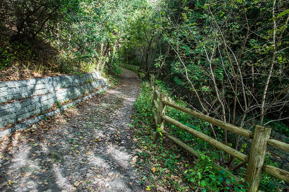
Best for: learning about the Don River.
The north entrance is at 1191 Lawrence Avenue East. TRCA's 2026 event meets beside the parking lot at the East Don Trail entrance. It lists the 91 bus from Woodbine station as a transit option. Check the current trip before leaving.
This is a stronger choice for a planned nature walk than for someone who wants a quick photo of a jumping fish. A guide can help you understand what you are looking at, even when the water is quiet.
The free salmon walks are on Sunday, October 18, 2026, with starts at 10 a.m. and 1 p.m. Use the official Charles Sauriol registration page. Its morning end time also appears to contain a typo. Use the booking details for the final timing.
Pros: a guided Don River option and a clear meeting location. Cons: no public washroom at this trailhead, and the valley needs a current conditions check after the September storm. TRCA asks for accessibility requests at least seven days ahead. For October 17 and 18, those dates are October 10 and 11. If you missed that window, contact the organizer before booking. An accommodation is not guaranteed at short notice.
A scheduled walk does not prove that every surrounding trail is open on every day. Watch for updates from the organizer.
Book the guided walk if you want this location. For an unplanned first visit from downtown, Old Mill is easier to understand.
4. Raymore Park: a useful Humber alternative
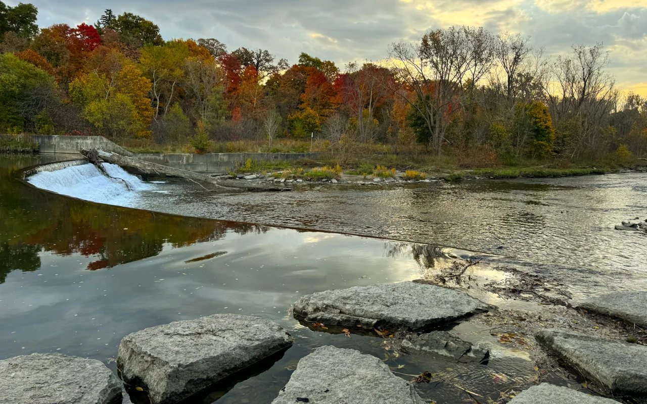
Best for: a Humber River outing closer to Weston and central Etobicoke.
Raymore Park is at 95 Raymore Drive. It appears in TRCA's salmon viewing story map. The Humber structure here includes a fish ladder, which helps fish travel past the obstacle.
Raymore also sits within the Humber's flood-history landscape. Reading about Hurricane Hazel's legacy adds context to a river walk and the need to respect flood warnings.
The point of choosing Raymore is to avoid crossing the city to a more famous section of the same river. Use the park's public paths and safe views of the water. Never step onto the weir or into a fish passage.
Pros: a verified salmon-viewing lead from the conservation authority and a good local alternative. Cons: the trip is less direct from the subway, and a map pin at the park doesn't tell you which paths are clear after a storm.
Allow a flexible hour for a short visit, including time to look at the water. That is our planning allowance, not a measured route time. Check the City's Raymore Park listing and current alerts before setting out.
Choose Raymore if it saves you travel. There is no sound reason to promise it has fewer people or more fish than Old Mill on a particular day.
5. Erindale Park: the best Credit River starting point
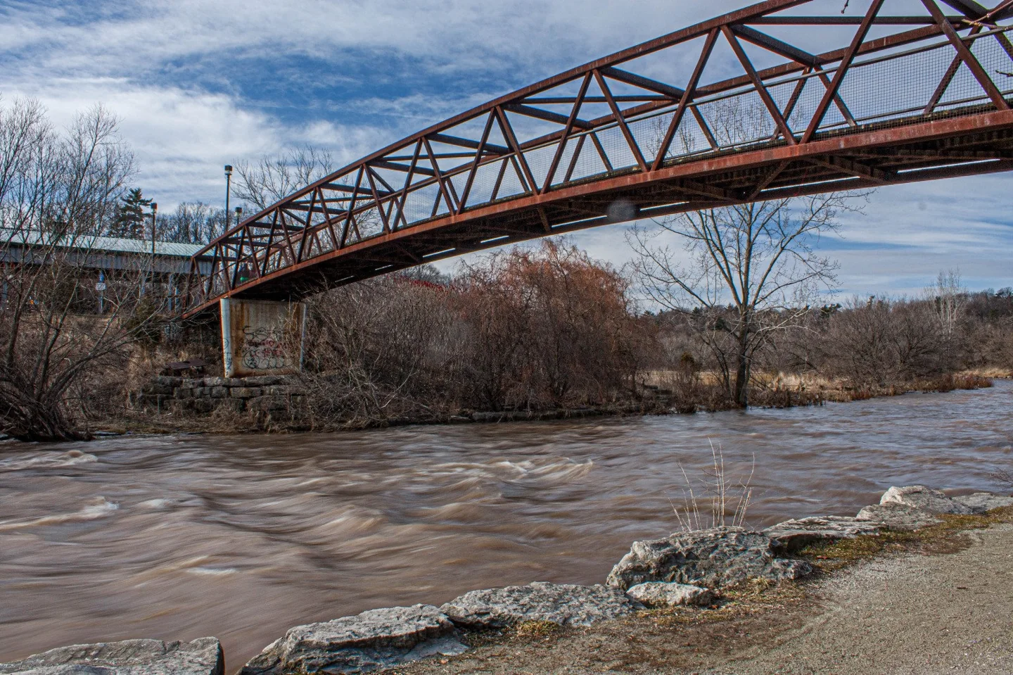
Best for: a Mississauga river walk with access checked before leaving.
The City's Erindale Park listing gives 1695 Dundas Street West. Erindale is one of Credit Valley Conservation's salmon-viewing locations. The Culham Trail gives access along the Credit River, so you can enjoy a walk instead of waiting at a single spot.
Don't confuse Erindale Park with Erindale GO station. Plan the complete journey to the park, including any local bus and walk. A station name is not proof that the river entrance is beside the train.
Pros: a well-supported salmon location, river scenery and an outing that can be longer or shorter. Cons: the trip from downtown needs a complete transit or driving plan. Fish and trail conditions can change.
A September festival closure is now a past notice, not proof the park is closed in October. Check the current City park information and posted trail signs instead of planning from that old date range.
Choose Erindale when the Credit River is convenient for you. For a short outing from central Toronto, Old Mill remains the simpler first choice.
6. Bowmanville Creek fish ladder: best for an eastern GTA outing
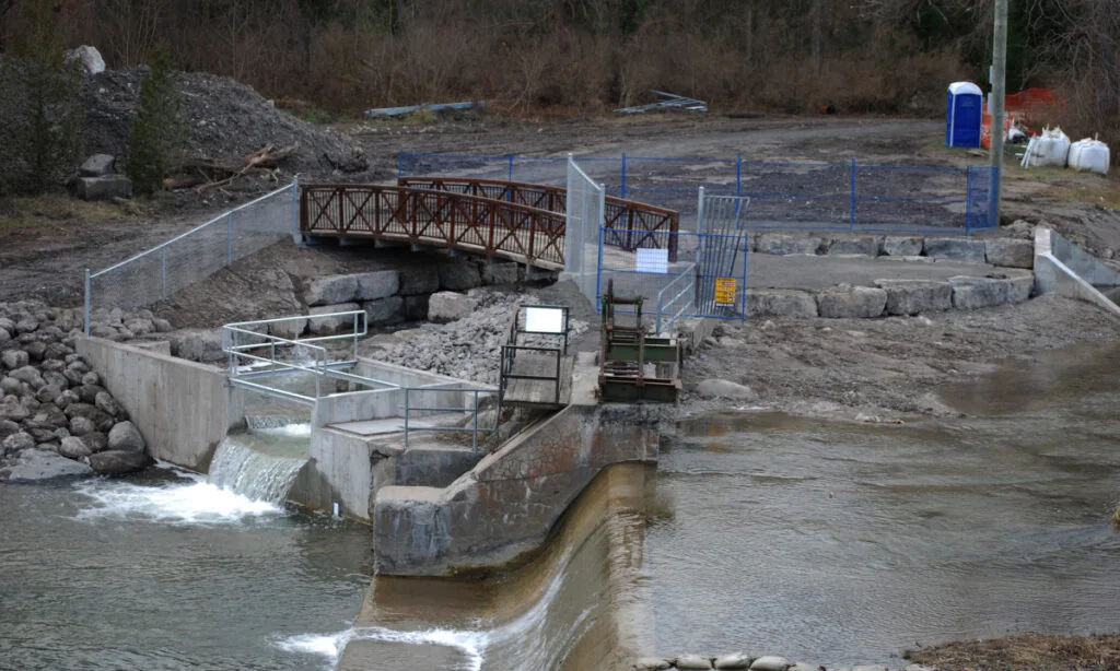
Best for: people already in Durham or planning a longer day out.
The fish ladder sits on the Bowmanville Valley Trail. Clarington lists access from Roenigk Drive, or about one kilometre north of the Baseline Road parking lot. Map the fish ladder itself, then choose the trail entrance that suits your route.
This is a real fish passage built to help migrating fish reach upstream areas. Valleys 2000 explains the project, and the municipality confirms fall salmon viewing at the ladder.
Pros: a clear feature to look for, an interesting conservation story and a walk along the creek. Cons: reaching Bowmanville from Toronto takes time, and the walk from your chosen parking area adds to the outing. Busy days can put pressure on legal parking spaces.
Clarington also describes an accessible natural-gravel fishing area south of Goodyear Dam and north of Spry Avenue. That is useful information about a specific area. It is not proof that every approach to the ladder is step-free or easy in wet weather. Check the municipal fishing and access page for the distinction.
Go here when you want a proper Durham outing. For a quick first look from a Toronto subway line, the extra journey buys no guarantee of more fish.
7. Port Hope: best for making a day of it
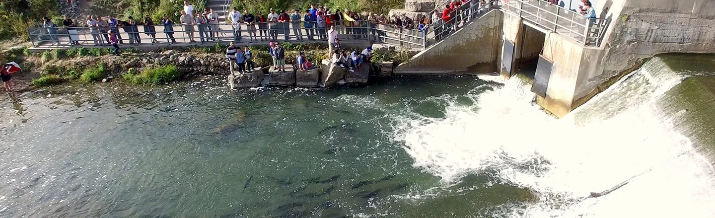
Best for: combining wildlife watching with a small-town visit.
The Ganaraska Fishway is on the west side of Corbett's Dam at 4 McKibbon Street, Port Hope. The town's official tourism page identifies this as its strongest fish-viewing point. Public riverside views downtown offer another way to look for fish pooling in shallow water.
Port Hope's salmon season often starts earlier than Toronto visitors expect. Its tourism guidance describes viewing from mid-August into early October. That is a normal seasonal window, not a live count for your date.
Pros: a dedicated fishway and a town centre that gives the day a second purpose. Cons: the distance from Toronto, travel costs and the risk of making a long trip on a quiet fish day.
The official fish migration page links to an underwater monitoring system. Check that before planning a special trip, while remembering that a recorded fish passage is not a promise of constant visible activity.
Do not enter the fishway or treat the dam as a climbing spot. Viewing and fishing are different activities, and protected sections of this river have strict fishing closures.
Choose Port Hope for the whole day. If your main aim is to keep the outing cheap and simple, stay in Toronto.
Why do salmon keep jumping at Old Mill?
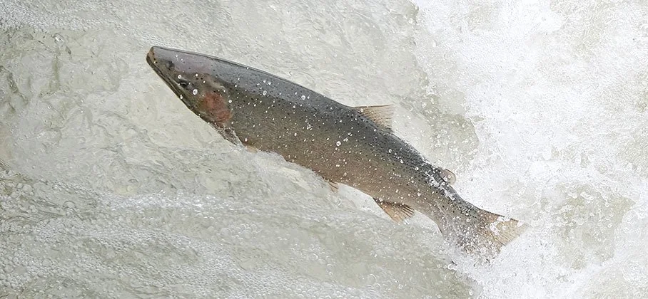
They are trying to move upstream past a river barrier. A salmon can make several attempts, and a short video of missed jumps does not measure the success of the whole migration. The height difference, water flow and approach matter. You cannot read every fish's route from a camera pointed at one part of the weir.
Old Mill already has a notch designed to help salmon pass. TRCA identifies the lower opening in the structure as a passage aid. It also explains that the structure helps limit upstream movement by invasive Sea Lamprey and Round Goby. That is more complicated than “remove every barrier” or “let only the strongest fish breed.” TRCA's salmon and barrier explanation
TRCA's wider fish-movement work considers habitat connections, barrier mapping and restoration priorities. Artificial barriers can fragment the places fish need to feed, spend winter and spawn. A dramatic leap is only a small part of that picture. Aquatic barriers and fish movement
Watch from an established path and look at the water beyond the most obvious splash point. Don't move closer to test the flow or assume a small fish cannot make it. Claims that fewer than one per cent or ten per cent succeed are not verified counts for this guide.
Should we lift the fish over or build a ladder?
No. Don't net, carry or relocate fish, shift rocks, or install a homemade ramp. A fish passage needs proper ecological and engineering work. A visitor's attempt to help can injure fish, change flow or put the person in dangerous water.
If you want to support better habitat, use TRCA's project information and the City's councillor lookup. Ask about the actual site and responsible agencies. A social-media comment does not establish who owns the weir or who has approved a new project.
Not confirmed yet, checked October 9: we have not established a funded new Old Mill fish-ladder project or completion date for 2026. The existing notch is confirmed. An official project notice, approved work scope and timeline would change the unconfirmed part.
Atlantic salmon restoration and American eel conservation are wider habitat issues, not proof that one DIY ladder is the answer. TRCA records monitoring work that supports the agencies responsible for American eel recovery. Choose proper restoration work over trying to handle a fish during a visit.
8 to 12. Plan a visit that still works when the fish are quiet
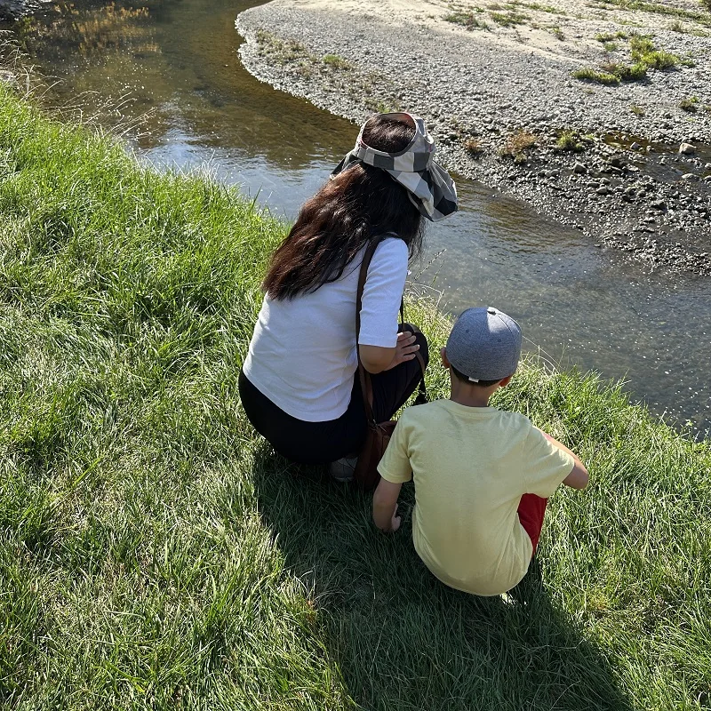
8. Pick one river, not a seven-stop route
These places are alternatives. Trying to visit the Humber, Highland Creek and the Credit River in one day turns a calm nature outing into a lot of travel. Choose the easiest good option from home. Leave a second river for another weekend.
9. Check the date on every sighting
Visitor reports checked October 11 were mixed: some described fish jumping near Old Mill, while others saw none. These are unconfirmed observations, not a live fish count. Confidence in seeing fish at a particular time is low. A dated local report helps, but conditions can change. A video posted today may show last October. Look for the date taken, the exact river and the location within the park. A recent observation is useful, but fish move and water changes. Treat it as a reason to look, not proof that a crowd of salmon is waiting.
10. Give the trip a second purpose
Bring a picnic, plan a short leaf walk or meet a friend. For a child, spotting a bird or collecting fallen leaves for a drawing can save a quiet fish day. Our car-free GO day trips help if you want a larger outing. Keep the backup close to the river you chose.
11. Set a sensible waiting limit
Our suggestion is to try two safe viewing points and spend about 15 to 20 quiet minutes at each. This is an editorial plan, not a scientific rule. If nobody is having fun, leave. Returning another day is better than spending three hours waiting for a leap because the trip took effort.
12. Check toilets before entering the valley
Use a washroom before the walk and carry water. Seasonal park toilets can close or be out of service. Charles Sauriol's event page explicitly says there is no public washroom at its trailhead. Do not assume a large green area on a map includes a usable toilet beside the river.
13 to 16. Know what you are watching
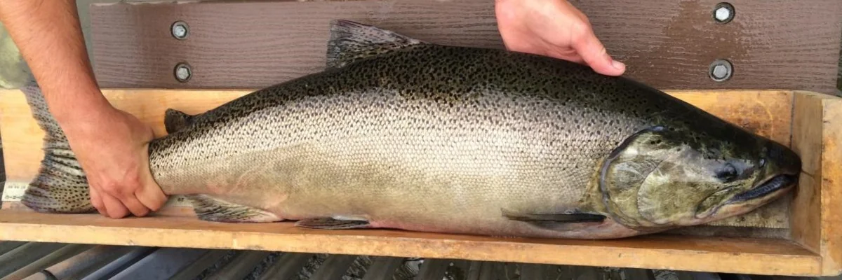
The identification photo above shows a Chinook salmon being measured. It helps explain the fish's shape. Visitors should leave fish in the river.
13. Look for a body shape, not just a splash
Stop on a bridge or safe path and let your eyes settle. A dark shape facing into the current may be easier to spot after you have watched the same pool for a while. Reflections and muddy water can hide fish. Use your phone's zoom rather than moving closer to the edge.
14. Not every fish is the same species
Chinook are the most common salmon seen in the region's rivers. Chinook and Coho are Pacific species introduced to Ontario. Atlantic salmon are native to Lake Ontario and part of a restoration programme. Brown trout can migrate in fall too. Rainbow trout are mainly associated with the spring spawning run. TRCA's salmon identification guide helps you compare them.
These local fish are moving from Lake Ontario into tributaries. Don't describe the Toronto run as a journey back from the ocean.
15. Dead salmon can be part of the normal cycle
Chinook and Coho die after spawning. Their bodies feed the river ecosystem. Atlantic salmon can survive and spawn again. Explain this before a visit with children who may find it upsetting. Avoid promising a cheerful animal show. This is wildlife at a hard stage of life.
16. A difficult jump does not mean you should help
Keep your hands out of the water. Do not carry a fish over a barrier or move rocks and branches to change the flow. Barriers can have conservation purposes, including limiting invasive species. Watching quietly is the right role for a visitor. Tell the park authority about a major blockage rather than altering it yourself.
17 to 20. Keep the outing safe, kind and affordable
17. Keep children and dogs back from the edge
Use a public bridge or a broad path with room to stand. Wet rocks, steep banks and fast water are a poor place for a close-up. Keep dogs leashed where required and out of the spawning area.
Low-head dams can have dangerous currents. A claim that paddling below the final weir is always safe is not a route assessment. Paddling needs its own current plan; this outing is from land. A photo of other visitors close to a creek is not an instruction to copy their position in today's conditions.
18. Leave fishing rules to the current official guide
This article is about watching. Seeing someone cast a line does not establish that fishing is allowed there. Ontario's 2026 fishing rules include a September 1 to October 14 no-fishing period on a defined downtown stretch of the Ganaraska. Other sections are closed all year.
If you suspect illegal fishing, use the Ministry's reporting line, 1-877-847-7667. Record the location from a safe place. Don't confront someone at the river or guess their eligibility from appearance.
19. Spend on comfort before spending on distance
Wear shoes with grip. Take a layer, water, snacks and a charged phone. You don't need a special camera or a paid tour to look from public paths. Set a transport and food budget first. A local river with a packed lunch is the better value if a distant trip would strain your budget.
20. Book a learning event when certainty matters
No organizer can promise fish. A guided event can promise a planned subject and someone to explain it, unless cancelled. The October 17 and 18 TRCA walks are the upcoming guided choices checked for this guide. The Morningside October 4 programme is already past. Check availability and cancellation messages before travelling.
If the forecast turns ugly, use our rainy-day Toronto ideas instead. A river trip is easy to postpone. You can also use a Toronto library card for free attraction passes when you want a different low-cost outing.
Can you eat a salmon from the run?
Watching is not permission to catch one. A legal angling trip needs the current species, season, place and licence rules. Food safety is a separate question. Ontario's Guide to Eating Ontario Fish uses the fish's species, size and location to give consumption advice. A comment about how spawning fish taste is not a safety assessment. Don't collect a dead fish from the river as food.
Other locations worth watching, with limits
TRCA's story map also names the Lower Don River Weir, Rouge National Urban Park, Whitevale Park and Greenwood Conservation Area. They are useful leads for people nearby. They are not ranked above because this guide has not established a better current visitor approach than the seven full profiles.
The same map asks for reports from Nort Johnston District Park to learn whether fish reach that far. That is a monitoring question, not a confirmed viewing promise. Reports from private golf-course land are not a reason to enter without permission.
Lower-confidence leads, checked October 9: past visits at Lowville Park in Burlington and reports along the Humber south of Scarlett Road and Eglinton Avenue remain ideas to investigate. We have not confirmed a current public viewpoint or fish activity for those exact visits. A dated observation and verified safe public approach would improve confidence. Don't make a long trip on the old account alone.
Older reports of Rouge sightings need special care in 2026. Parks Canada lists Rouge Beach construction closures, and access elsewhere in the park has changed. Do not assume you can walk from Rouge Hill GO along an open riverside path to every reported spot.
Maps for the places mentioned
These are search maps. A result does not confirm a business is open, a particular entrance is usable or an appointment is available. Confirm current official details before travelling.
Search results: Old Mill Station
Search results: Erindale GO Station
Search results: Lower Don River Weir
Search results: Rouge National Urban Park
Search results: Rouge Beach
Search results: Rouge Hill GO Station
Search results: Whitevale Park
Search results: Greenwood Conservation Area
Search results: Nort Johnston District Park
Search results: Lowville Park
Frequently asked questions
When is the salmon run in Toronto?
September and October are the main planning months, with some migration continuing into November. The timing changes by river, fish species, water level and weather. There is no confirmed single peak day for Toronto in 2026.
What is the easiest salmon-viewing spot by TTC?
Etienne Brulé Park is our first choice from the subway. Use Old Mill station on Line 2 and the public park entrance near Old Mill Road. Check construction and trail notices before your visit.
Is watching the salmon run free?
You can watch from public paths at the locations in this guide without buying a salmon-viewing ticket. Transport, parking and food can add costs. TRCA also lists free 2026 salmon events, with registration through its official pages.
What time of day should I go?
Choose daylight and safe trail conditions. Clear water and a good viewing angle matter more than a claimed magic hour. Early visits may suit your schedule, but they do not guarantee fish or an empty park.
Should I go right after it rains?
Do not visit flooded banks or nearby trails during or after heavy rain. Rain can affect migration, but fast water and damaged paths can make viewing unsafe. Check flood messages and local closures first.
Can children watch the salmon run?
Yes, with close supervision from a safe public viewpoint. Choose a short walk, plan toilets and explain that they may see dead fish. Morningside works as a Scarborough nature walk, but its October 4, 2026 event has passed. Check the upcoming October 17 and 18 TRCA walks for guided learning.
Are the paths wheelchair accessible?
There is no single answer for every path in these parks. Check the exact entrance, slope, surface and viewing area, especially after storms. For a TRCA event, contact the organizer about access needs before booking travel.
Are fish sightings guaranteed on a guided walk?
No. A guide can explain the river and help people look, but wildlife moves on its own schedule. Book for the learning and choose an outing you will enjoy even if the fish stay out of sight.