


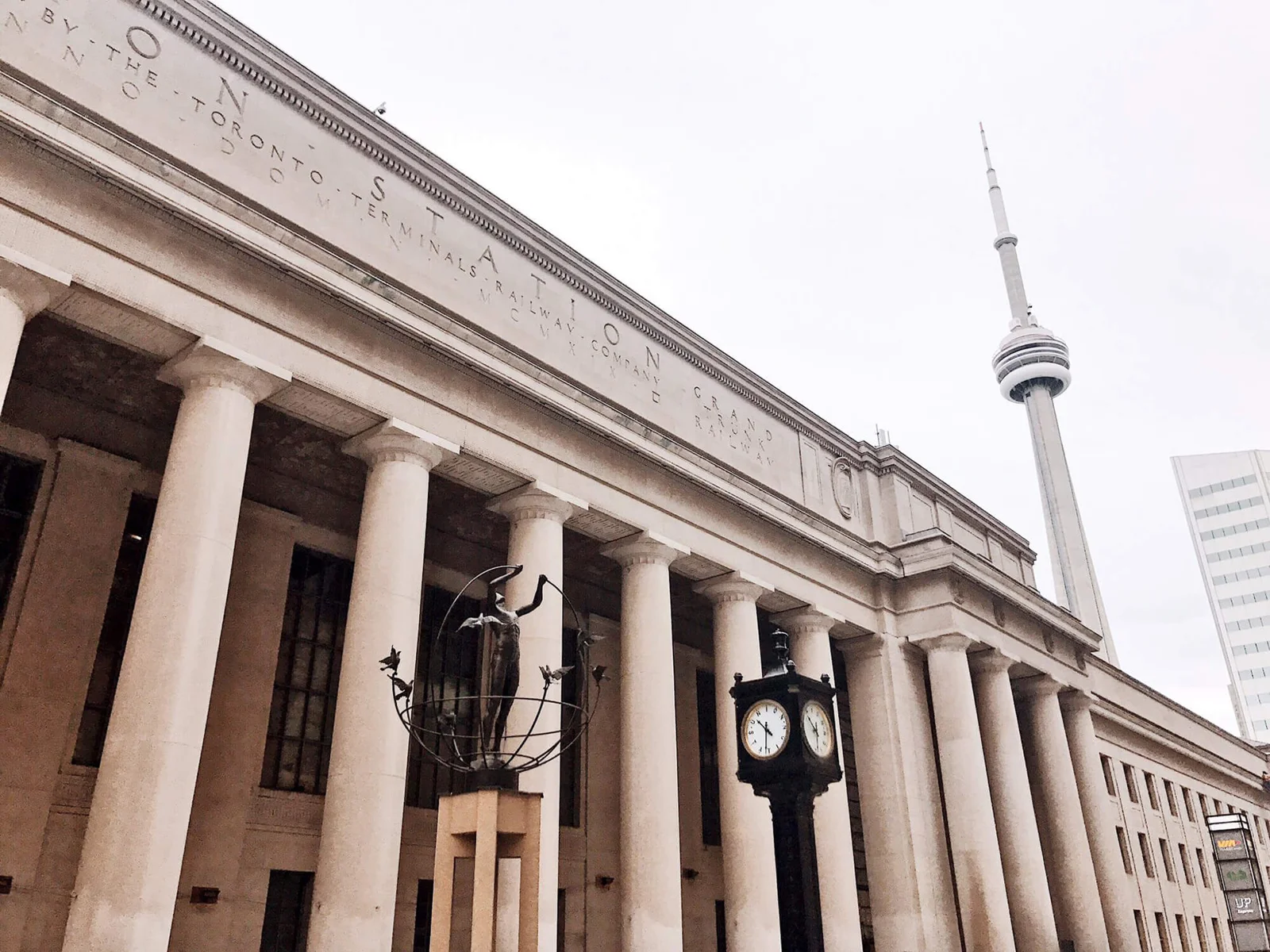
The missing northwest PATH connection is a real project with a long paper trail. It is not simply a door someone forgot to open.
The key change is that the original York Street route was later replaced by a recommended route toward University Avenue and Wellington Street. Council approved that revised alignment in 2018. That approval did not establish that the tunnel was fully funded or built.
As of our October 11, 2026 research check, we haven't verified a current opening date. For a trip today, use the City's completed PATH connections and keep a surface route as your backup.
What the documents establish
| Stage | Verified record | What it does not establish |
|---|---|---|
| Original planning | A northwest connection from Union toward Wellington was studied | That the whole proposed route opened |
| First phase | The 2018 report records public opening of the first segment in 2015 | Completion of the onward link |
| 2015 deferral | The report records a pause over projected costs and funding | That the project was permanently cancelled |
| 2018 revised alignment | Council approved a route using the University Avenue side | A current construction or opening date |
| Today's route planning | The City publishes a PATH map | That a proposed or future line is walkable |
A line on a planning map is a plan. It isn't an entrance.
The first tunnel was only part of the plan
The City's 2018 staff report describes a first phase connecting Union Station to the Front and York intersection. It records that segment opening in the second quarter of 2015.
The report also says completion was deferred in July 2015 because of projected cost increases while funding options were reviewed.
That is why a person can use a real tunnel and still reach the end of the connection they expected. The first segment and the full extension are not the same project stage.
Don't assume a temporary-looking wall proves a simple unfinished doorway. The work beyond it can have a separate alignment, budget and approval history.
The York Street route changed
The older planning route ran north from Union toward Wellington. The 2018 work reviewed alternatives and recommended a different alignment.
The Council decision for item GM29.24 approved Alignment 4. That route was to extend from the first-phase endpoint toward University Avenue and Wellington, using an existing underground parking garage.
Council also called for technical development and a business case dealing with shared construction costs and funding discussions.
That is a useful correction to the question “Why hasn't the tunnel under York opened?” The approved later proposal was not simply the same straight line under York.
Choose the current record over an old drawing. Don't use the original alignment to describe what has definitely been approved since.
Why this wasn't a cheap missing link
The 2018 report estimated a capital cost of about $87.9 million for the recommended route. It labelled that as an early estimate with a wide accuracy range.
That is a historical estimate, not a 2026 construction quote. We won't adjust it casually for inflation and present the result as a new budget.
The proposal also involved underground space already being used for parking. A tunnel through an existing city block can affect utilities, access, property interests and operating revenue.
Our judgement is that the project was much more than a short passage through a wall. That doesn't excuse an unclear public timeline. It explains why “just finish it” doesn't describe the whole job.
Was it cancelled?
We haven't verified a current primary-source statement establishing permanent cancellation. We also haven't verified a current construction award or opening notice for the full proposed connection.
Those are different gaps. “Not confirmed open” doesn't prove “cancelled.” An old approval doesn't prove “about to open.”
The strongest answer today is that the documents establish the project history and revised route, but not a current completion date.
As of October 11, confidence in any promised year is low without a current capital decision, contract or official project update. That evidence would change the answer.
How to walk northwest from Union now
Start with the City's current PATH information and map. Choose a completed route to the building you actually need.
A route through another part of the network can feel indirect. But an indirect open connection is more useful than walking to an unverified future corridor.
Keep the surface option in mind. Front Street, York Street, University Avenue and Wellington are real streets with signals, weather and construction conditions to check. In some situations, a short outdoor walk is simpler than an indoor detour.
Don't promise that every building entrance is open whenever Union is open. The network crosses many buildings with their own access arrangements.
Choose the route for the time of day, not just the weather. If a door is closed, use the public route and ask building staff for the accessible alternative.
Use the map's access symbols, not only its tunnel lines
The City's PATH information page links the network map. Read the legend as part of the route: stairs, escalators, lifts, ramps and alternative accessible routes can change which connection you can use. A continuous-looking line is not enough for a step-free journey.
Save the map before going underground. Mark both your destination building and a surface exit near it. That gives you a practical fallback when an entrance or lift doesn't work for your visit.
The City also flags a limit in its map presentation: some map content has no text-based alternative. For help understanding it or an alternate format, it directs readers to the Financial District BIA at 416-849-3856 or [email protected]. That is more useful than telling a reader to zoom in on a map they can't use.
For a future extension, keep the same standard. A route drawing needs an access plan and opening evidence before it becomes a walking recommendation. For today's journey, choose a completed connection you can use and keep the street exit visible in your plan.
More useful destinations around the existing network
If your goal is food, coffee or a warm stop near Union, you don't need to wait for the proposed York Street extension. Pick a current destination, then check its entrance and business hours separately.
MosMos's branch directory lists these nearby options:
| Destination | Branch address | Published café schedule |
|---|---|---|
| Royal Bank Plaza | 200 Bay Street, Unit LR01 | Monday to Thursday, 7 a.m. to 5 p.m.; Friday to 4 p.m. |
| Commerce Court | 199 Bay Street, Unit C136 | Monday to Friday, 7 a.m. to 6 p.m. |
| Simcoe Place | 200 Front Street West, Unit C014 | Monday to Thursday, 7 a.m. to 5 p.m.; Friday to 4 p.m. |
| Southcore | 120 Bremner Boulevard, Unit FC5 | Monday to Friday, 7 a.m. to 5 p.m. |
| Waterpark Place | 20 Bay Street, Unit 108 | Monday to Friday, 7 a.m. to 5 p.m.; weekends, 9 a.m. to 4 p.m. |
These are café hours, not building or PATH-access hours. The street address is not a step-by-step underground route. Use the current network map and on-site signs for that.
Waterpark is the useful weekend café alternative in this list. The office-concourse branches are weekday choices. For the actual northern gateway from Union, Royal Bank Plaza's retail map is a more useful reference than an old proposed-tunnel drawing.
Choose the place that serves your trip. Don't treat a missing link, a locked entrance and a closed coffee counter as the same problem.
After-hours access is a separate PATH problem
The missing northwest extension is not the reason every PATH door closes. Building access, retail hours and the pedestrian connection are different things.
A shopping concourse can be reachable while the store you wanted is closed. A route you used at lunchtime can have a different entrance arrangement in the evening.
For an after-hours trip, check the destination building and the entrance you plan to use. If accessibility matters, confirm the whole route, including lifts and street access.
Don't make a visitor feel foolish for finding a locked door. The network's signs and schedules don't always answer the exact trip.
Choose a known open entrance. Skip testing several office lobbies when the surface walk solves the problem.
Follow the money and the route through the project history
The dates explain why different maps tell different stories
| Date or stage | Primary record | What changed |
|---|---|---|
| 2010 | Recorded in the 2018 staff report | Detailed engineering of the original York alignment was completed |
| Second quarter of 2015 | Same report | The first segment opened at a reported total cost of $48.4 million |
| July 2015 | Same report | Completion was deferred over cost and funding |
| 2016 streetscape plan | York Street report | Surface improvements were affected by the tunnel work and utility costs |
| 2018 | GM29.24 | Council approved the revised Alignment 4 and further development |
| Current research check | Existing official map and project records | No verified full-extension opening date found |
An old document can be accurate about its stage and still be a poor guide to today's walk. A 2010 alignment, a 2015 open segment and a 2018 revised proposal are three different things.
Three cost figures that should not be added casually
The 2018 staff report gives $48.4 million for the first phase, $66 million as the earlier approved full-extension construction budget and about $87.9 million for the recommended revised route. They describe different stages and scopes.
The $87.9 million amount was a Class D estimate, meaning an early estimate with a stated range of minus 20% to plus 30%. That range matters. It was not a fixed contractor quote.
Applying that stated range to $87.9 million gives roughly $70.3 million to $114.3 million. This is arithmetic showing the historical estimate's uncertainty. It is not a current budget, an inflation adjustment or a promise that construction could be bought at either end.
Don't add all three numbers and call the total money spent. Don't subtract the first phase from the revised estimate without checking scope. A table full of dollar signs is not useful unless it says what each dollar amount represents.
The garage tradeoff was concrete
The revised route used an existing Toronto Parking Authority garage, Carpark 52. The report described permanent removal of about 185 parking spaces and temporary closure of the garage during construction. Retail space was part of the revenue discussion.
That explains why this was not simply excavation under an empty street. A pedestrian link could improve circulation while reducing parking and affecting operating revenue. Those losses require a decision alongside the walking benefit.
For supporters, the strong case is a useful public connection from a major transit hub. For critics, the strong question is whether that connection justifies its capital cost and the displaced uses. The answer needs a current business case, rather than a photograph of the tunnel's end.
York's surface work was tied to the underground uncertainty
The 2016 streetscape report says some proposed York Street improvements between Front and Wellington were difficult to implement because of utility-chamber relocation costs and the northwest PATH work. It described the PATH project as delayed indefinitely at that time.
That is evidence about 2016. It is not a newly announced cancellation in 2026. It does show that the underground proposal had effects on the surface plan too.
This is why a useful update must say which work it covers. A planter, curb change or sidewalk improvement on York does not prove the underground extension is restarting. A new PATH tunnel elsewhere does not complete this one.
Three practical routes to consider today
| Your priority | Start with | What to check |
|---|---|---|
| The simplest route to York and Wellington | A surface walk north from Front on York | Construction, crossings and the destination's actual entrance |
| Staying indoors | Completed connections on the City PATH map | The building chain, open entrances and access symbols |
| A step-free journey | A route planned around lifts, ramps and accessible entrances | Every connection, including the final entrance and current lift operation |
These are route strategies, not timed walking instructions verified on foot. No route here assumes the future line is open. For a short destination near York, the surface option can be easier to understand than a longer underground chain.
The map file address contains an old year. Read the actual map's date and legend rather than inferring its age from the URL. Keep a saved copy, but use current building information when after-hours access matters.
What a genuine restart announcement would need
A useful announcement names the approved alignment, the phase, secured funding and the construction timetable. It explains which doors or streets are affected and how the new link will operate after opening.
For the public, it should also say whether access is continuous, what hours apply and how a wheelchair user can complete the route. A ribbon-cutting without clear operating details does not answer the navigation problem.
Until that evidence appears, treat the project as a documented unfinished connection with no verified current completion date. Choose a completed route for today's trip. Keep the historical proposal separate from the walking directions.
Frequently asked questions
Is the York Street PATH extension open?
We haven't verified the full onward connection or a current opening notice. Use the City's current completed routes and check building access for your trip.
Did the first northwest tunnel open in 2015?
The City's 2018 report records the first segment opening in the second quarter of 2015. That doesn't establish completion to Wellington.
Why does the old route point under York Street?
That was part of the older planning alignment. Council's 2018 decision approved a different recommended route toward University and Wellington.
Does a dotted PATH line mean I can use it?
No. Check the map legend and whether the line represents a proposed connection. Use a confirmed completed route.
How much would the extension cost?
The 2018 report estimated about $87.9 million for the recommended route. That is a historical early estimate, not a verified 2026 price.
Was the project permanently cancelled?
We haven't verified a current permanent-cancellation statement. We also haven't found a confirmed current opening date. Don't treat either gap as proof of the other.
For a trip through downtown, use the current map and the destination building's access information. For this project, keep the dated history separate from today's route.
Related Toronto guides: Toronto library study spaces: where to work and what is closed.