


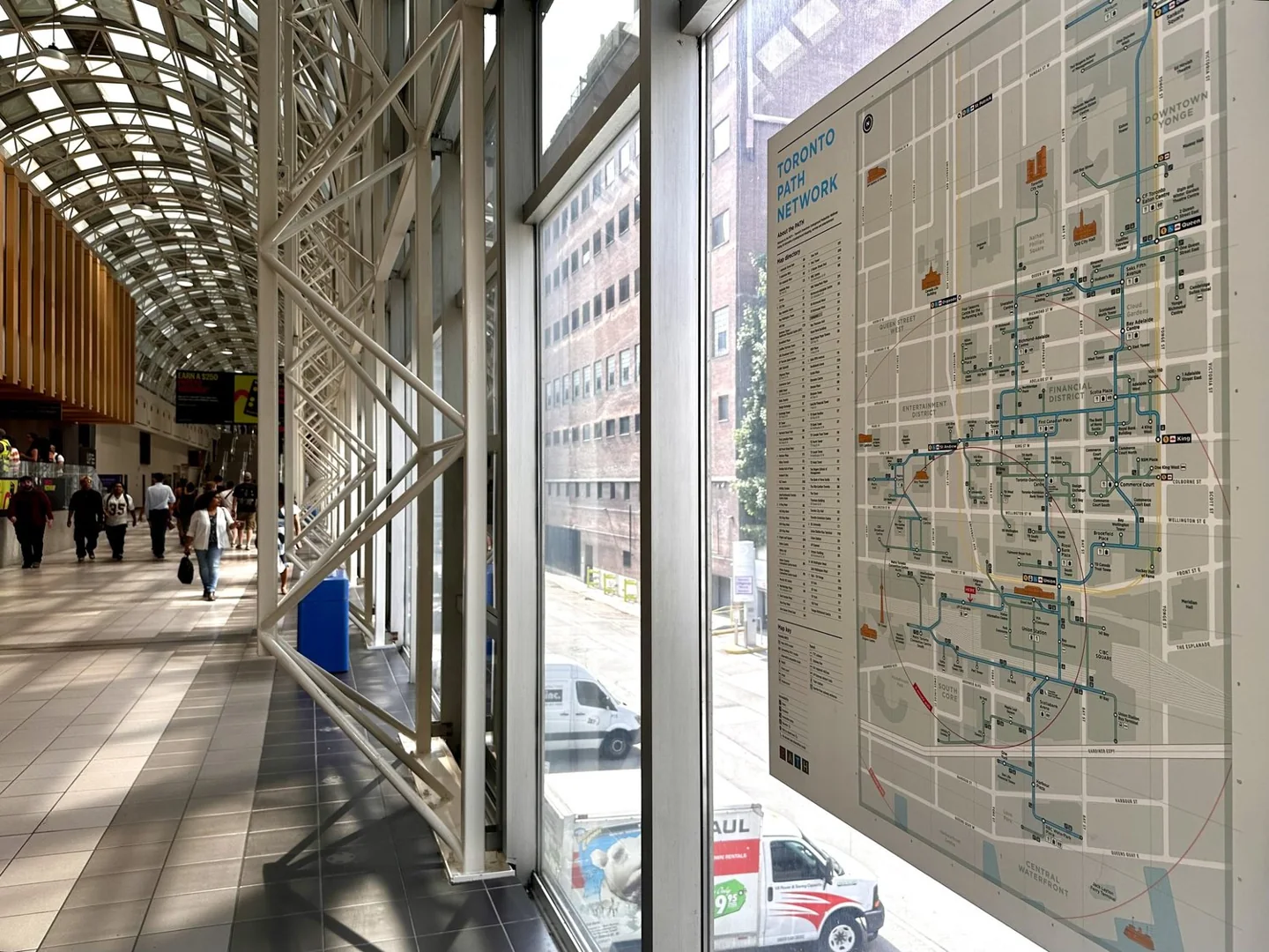
The easiest way to use Toronto's PATH is to follow a short chain of building names. Save the current map, find your starting building, then choose the next building on your route. Don't try to memorise the whole network.
Our pick for a first walk is Union Station to Brookfield Place. It is a useful connection with a clear destination. For a short trip on a pleasant day, the street is often the simpler choice. The main catch underground is that a route drawn on a map does not guarantee every door is open when you arrive.
In this guide
- Get the current map before you go downstairs
- Use buildings as checkpoints
- Start with these three useful connections
- Two useful street entrances near Union
- PATH hours: check the doors, not a single closing time
- Accessibility needs a route of its own
- Which PATH app should you use?
- Is the PATH worth visiting just to explore?
- Frequently asked questions
Get the current map before you go downstairs
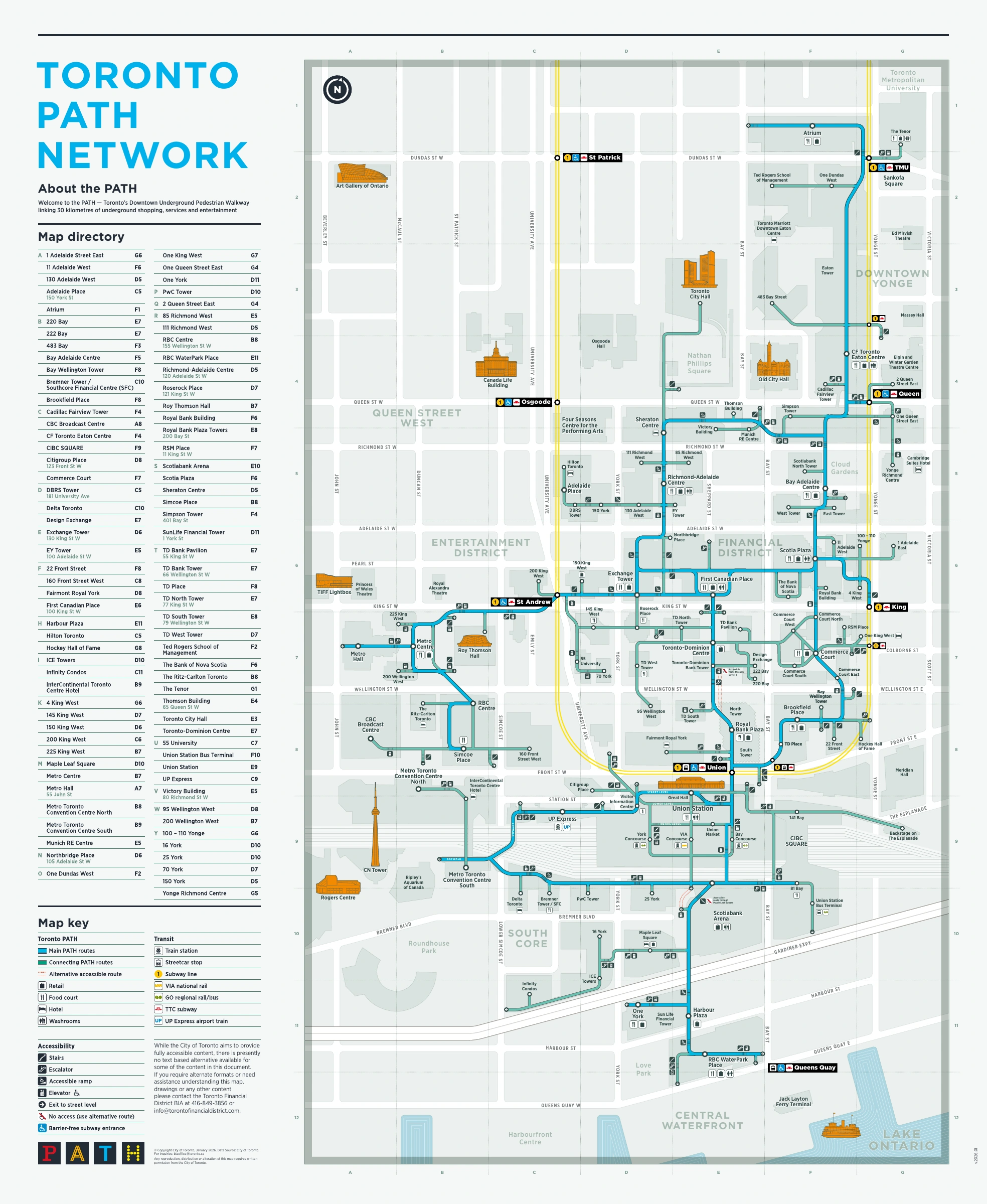
Start with the City's official PATH map. The file we checked on September 15, 2026 was labelled January 2026, despite the older dates in its web address.
The Financial District BIA's map page also has a simplified map and separate north, central and south sections. Save the part you need to your phone. A smaller section is easier to read than shrinking the entire system onto one screen.
Use the directory to match your destination to a building. An address such as 100 King Street West is useful above ground. Knowing that it is First Canadian Place is useful below ground.
The current map uses blue for main routes and teal, a blue-green colour, for connecting routes. It also marks stairs, elevators, ramps, street exits and alternate accessible routes. Those colours describe the map. They are not a set of train lines you can follow on the floor.
Keep a screenshot of your route and a street map. A saved PDF works even when reception is poor.
Use buildings as checkpoints
Here is a better plan than “head north until the Eaton Centre appears.”
- Find the name of the building you are in. Look at a directory or ask a security guard.
- Find that building on the map.
- Pick the next connected building on the way to your destination.
- Follow signs to that building, then stop and confirm the next step.
- Know the street exit you want before you reach the final building.
Ask “Which way is Brookfield Place?” rather than “Which way is the PATH?” You may already be standing in it.
What to do when the signs stop making sense
Stop at the next building directory. Confirm the building name, street address and nearest exit. Walking faster usually makes the mistake larger.
If you have passed two building names that are not on your planned chain, go to street level and reset. The street is a valid route. This is especially useful at night or on weekends when an internal door has closed.
Use landmarks that cannot be confused with compass directions: Union Station, Brookfield Place, First Canadian Place and the Eaton Centre. “North” is harder to judge in a corridor that turns around an office tower.
For a meeting, save the tower name, entrance and floor. Reaching the correct complex does not mean you are at the correct elevator bank.
Don't use a coffee shop as your only landmark. Shops move and close. Building names, streets and subway stations are a better base for directions.
At a large food court, check the next sign before following the busiest stream of people. The crowd is headed to several different trains, offices and lunch counters. It isn't a navigation system.
If you start looping, go to a public street exit and reset. Check the intersection, cross above ground if that is simpler, then re-enter where you need to. That is a sensible route choice, not a failed test.
Start with these three useful connections
Union Station to Brookfield Place
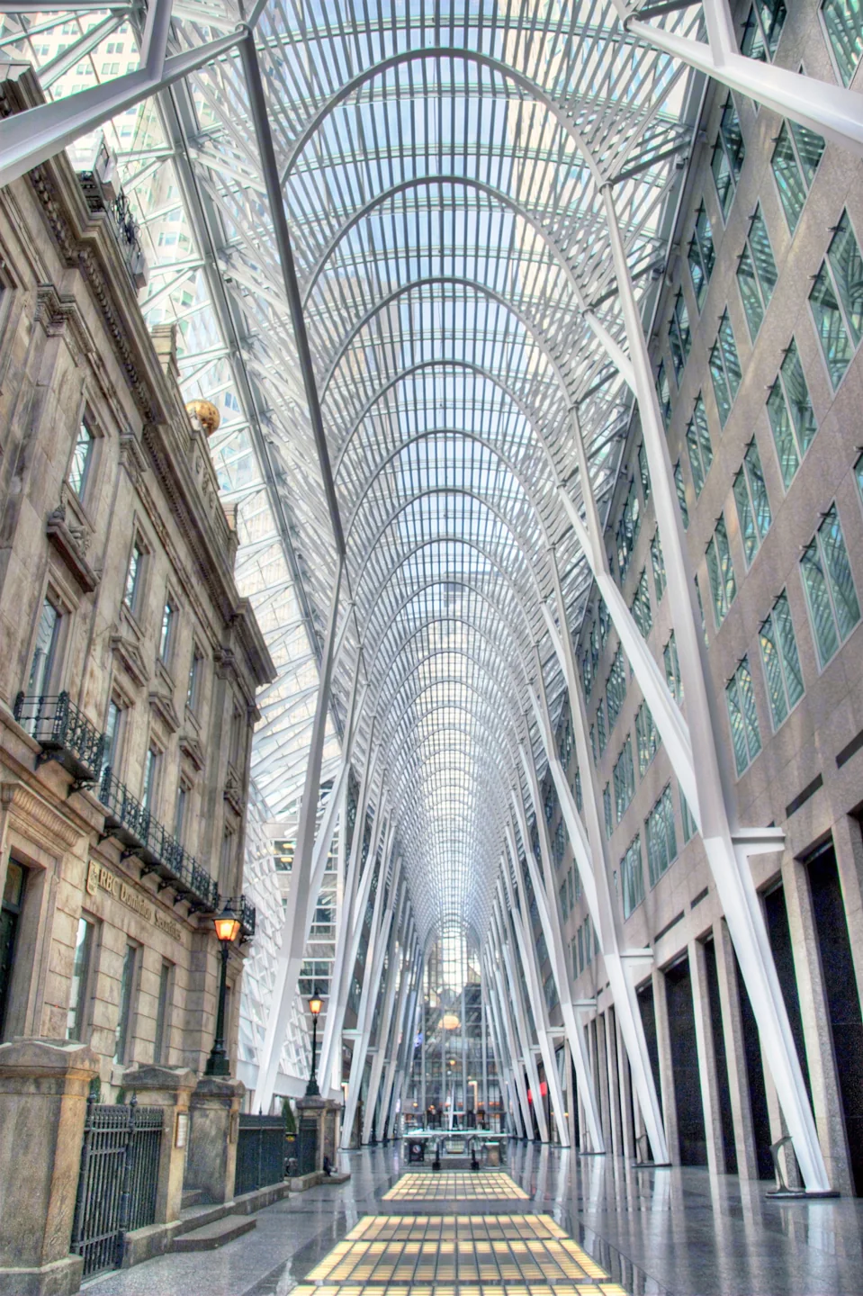
Brookfield Place is a good first destination because its name appears on signs and its lower public hall connects to a real attraction: the Hockey Hall of Fame.
The Hall's official directions confirm access from Union through Brookfield Place's lower concourse. Once there, follow the attraction's signs rather than searching for its street address underground.
Then go up to the Allen Lambert Galleria. The tall glass space is a much better short sightseeing stop than another stretch of food-court corridor. The PATH isn't entirely below street level, and this is a good reason to change levels.
Choose this walk to learn one connection. Add more buildings on a later trip.
Union Station to the Eaton Centre
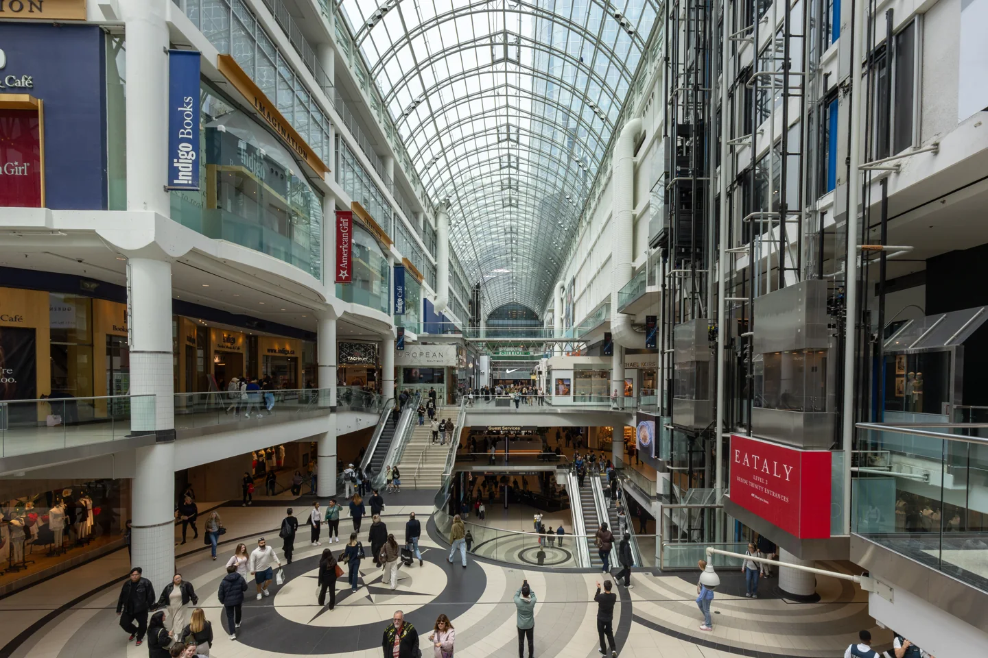

One mapped sequence runs through Royal Bank Plaza, Toronto-Dominion Centre, First Canadian Place, Scotia Plaza, Bay Adelaide Centre and Simpson Tower toward the Eaton Centre.
Use that as a list of checkpoints, not a promise that every turn is obvious. It crosses several properties and is a bigger first attempt than Union to Brookfield.
If you have a timed appointment, luggage or no interest in the walk, compare the street route and TTC first. Don't learn a long underground route with five minutes left before you need to arrive.
Union Station toward the CN Tower
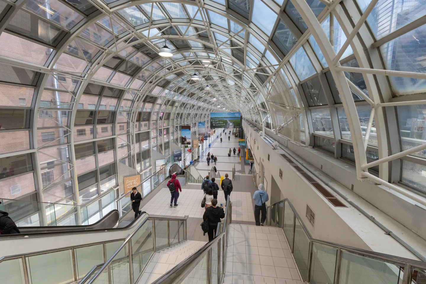

Follow the SkyWalk signs for the western connection. The CN Tower's getting-here page lists the SkyWalk as an approach from Union.
Keep a coat or umbrella for the final approach. A sheltered route toward an attraction is not the same as a continuous indoor route through its admission doors.
The Metro Toronto Convention Centre has distinct north and south buildings. Its official walking directions send you west on Front Street for the North Building. For the indoor route to the South Building, follow Convention Centre signs through the SkyWalk. Check the building on your event ticket before choosing a route.
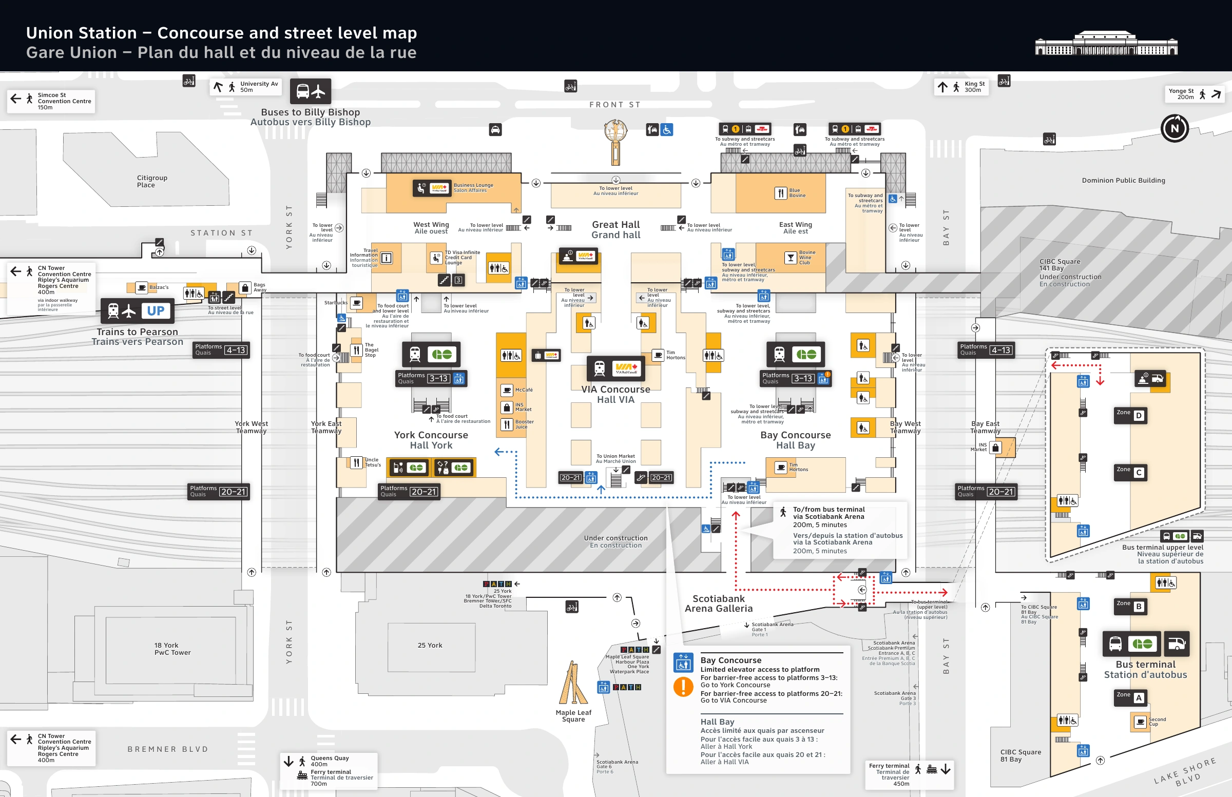
This street map shows the starting area. Use the official PATH map for indoor connections.
Two useful street entrances near Union
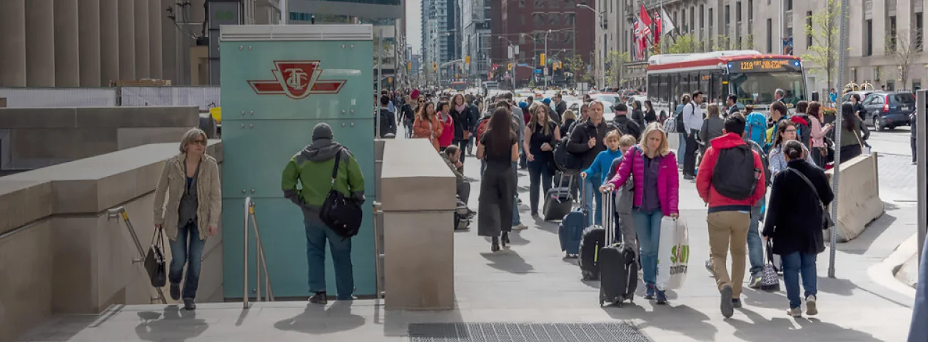
The TTC's Union Station page identifies two Bay Street entrances to the PATH near the subway:
| Entrance | Where to look | Access listed by the TTC |
|---|---|---|
| Royal Bank Plaza, 200 Bay Street | West side of Bay, just north of Front | Non-TTC elevator, escalator and stairs |
| Brookfield Place, 181 Bay Street | East side of Bay, just north of Front | Non-TTC elevator, escalator and stairs |
These are useful starting points if you arrive above ground. They also show why the side of the street matters.
Don't assume every staircase with a PATH sign is step-free. The ordinary Front and Bay sidewalk entrance listed on the same TTC page is a staircase.
For the north end, plan around the Eaton Centre and the current TMU station name. Older maps and directions may still call that subway stop Dundas.
PATH hours: check the doors, not a single closing time
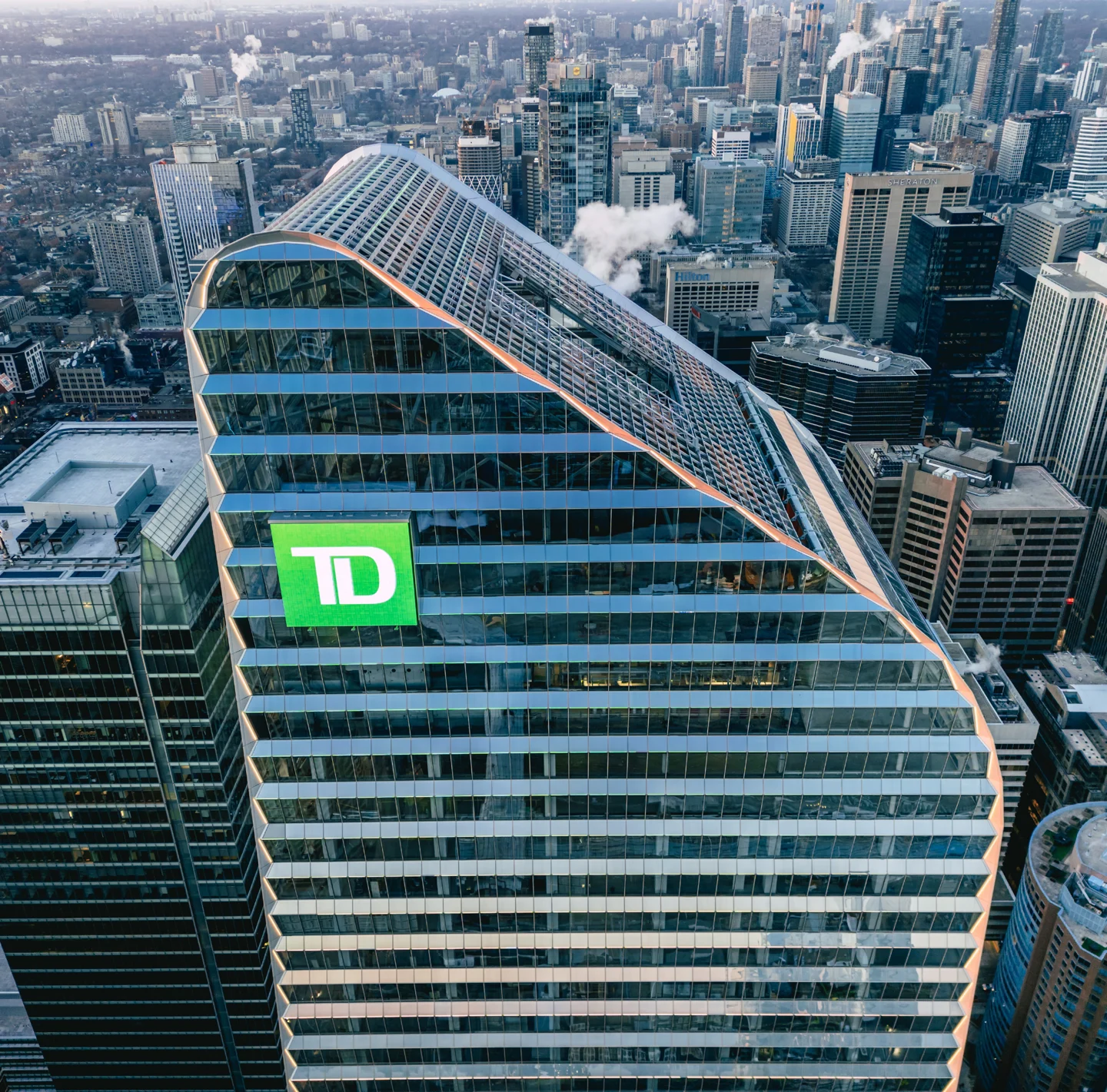
There isn't one property manager for the whole network. The City explains that each segment is controlled by the property owner.
That makes three different questions matter: Is the building entrance open? Is the connecting passage open? Is the shop you want open?
Build a weekend route with an outdoor backup. Office towers, food courts and retail corridors can use different schedules even when the map draws one continuous connection.
If a locked door blocks the route, do not follow staff through a secured entrance. Use the nearest marked street exit and re-enter through a public building that is open. For a late event, plan the return route separately from the daytime trip.
For example, 160 Front's tenant manual lists ground-floor lobby doors open Monday to Friday, 6 a.m. to 6 p.m. Its PATH access is listed separately: Monday to Saturday, 5:30 a.m. to 1:30 a.m., and Sunday and holidays, 8:30 a.m. to 1:30 a.m.
Those are that building's hours. They do not establish the hours of the next building.
For a first look, we would choose a weekday between the commuter peaks. For a weekend visit, pick a destination with confirmed hours and keep a street route ready. An open corridor can still lead past closed lunch counters.
If you leave through a door, check whether you can use it to return. Obey closure signs and barriers. An unlocked door is not permission to enter an office-only area.
Accessibility needs a route of its own
A line connecting two buildings does not tell you that the most direct passage is step-free. Check the map's access symbols and any alternate route before leaving.
Then check the elevators you will actually use. A building elevator and a TTC elevator have different operators. A working lift at your starting point does not establish that the whole route is available.
For example, the official map marks an alternate accessible route through Maple Leaf Square. That is exactly the sort of detail a simple “follow the crowd to Union” instruction misses.
Ask the destination's security or guest-services desk for its current step-free route from your arrival point. If a lift is out of service, get a new route before continuing downstairs.
For help understanding the official map or obtaining an alternate format, the City directs readers to the Financial District BIA at 416-849-3856 or [email protected].
Our wheelchair-accessible Toronto guide has more ideas for planning the rest of a day out.
Which PATH app should you use?
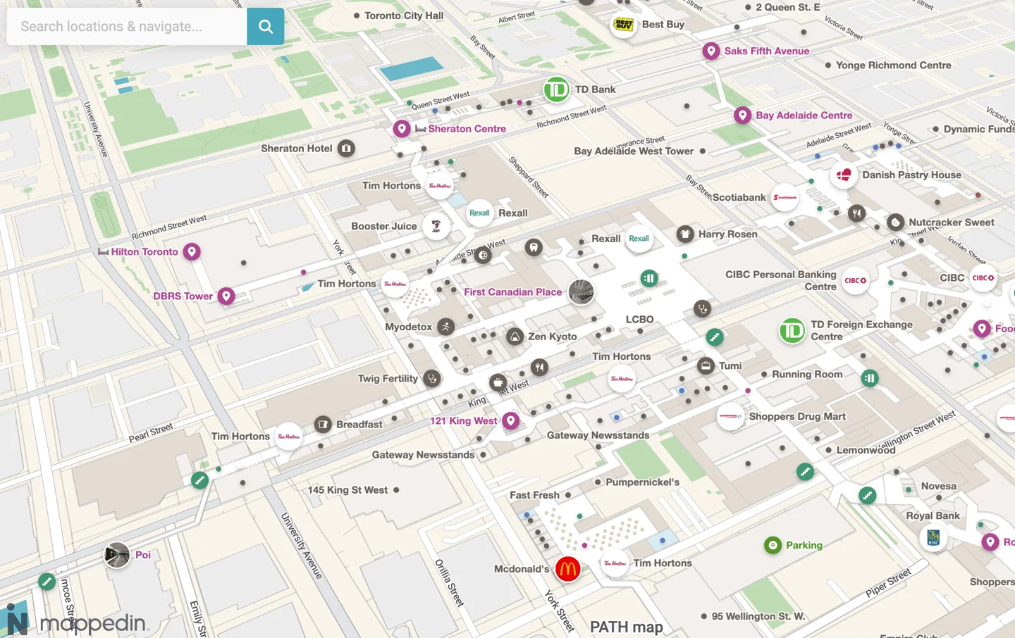
The official map is our starting point because it gives you a reference you can save. These other tools serve different needs:
| Tool | What it offers | What to check |
|---|---|---|
| Toronto Path App | The developer advertises indoor-priority or shortest-route planning, 2D/3D maps and more than 170 doors | An indoor-priority route can be longer; check the final door and current app terms |
| Pathmap | The developer advertises turn-by-turn directions and panoramic images; lists iOS and Android downloads | “Free download” does not establish that every feature is free |
| Mappedin's Toronto PATH map | A web map to inspect before travelling | Confirm the route against signs and closures when you arrive |
We checked the providers' pages, not every route inside their apps. None of those checks establishes live access to every corridor or elevator.
A phone showing your rough location can still be wrong about which level you are on. Use the building sign in front of you to settle that question.
Is the colourful PATH redesign real?
A recent independent design proposes numbered, coloured routes, supported by new signs and floor markings. It is a concept, not the installed system you should expect to find today.
The appeal is easy to see. A continuous line is easier to follow than a gap between signs. But the useful details still matter: building names, street context, entrances, accessible detours and a way to tell routes apart without relying only on colour.
Other ideas include ceiling strips, projected arrows, digital kiosks, Bluetooth beacons and an app that puts directions over your phone’s camera view. We found no confirmation, as of September 15, 2026, that those ideas form a new network-wide installation. Confidence is high that the current official map remains the appropriate reference; an announcement from the City or BIA would change that advice.
The BIA's PATH information explains its work on signs and directions with the City. It also confirms a real completed connection: the tunnel between Simcoe Place and 160 Front, finished in 2024.
A clearer map and a newly built tunnel are two different things. Don't plan a route through a proposed link simply because a drawing makes it look tidy.
Is the PATH worth visiting just to explore?
Yes, for a short look at how downtown fits together. We would not give it half of a first Toronto day just because it is marketed as an underground city.
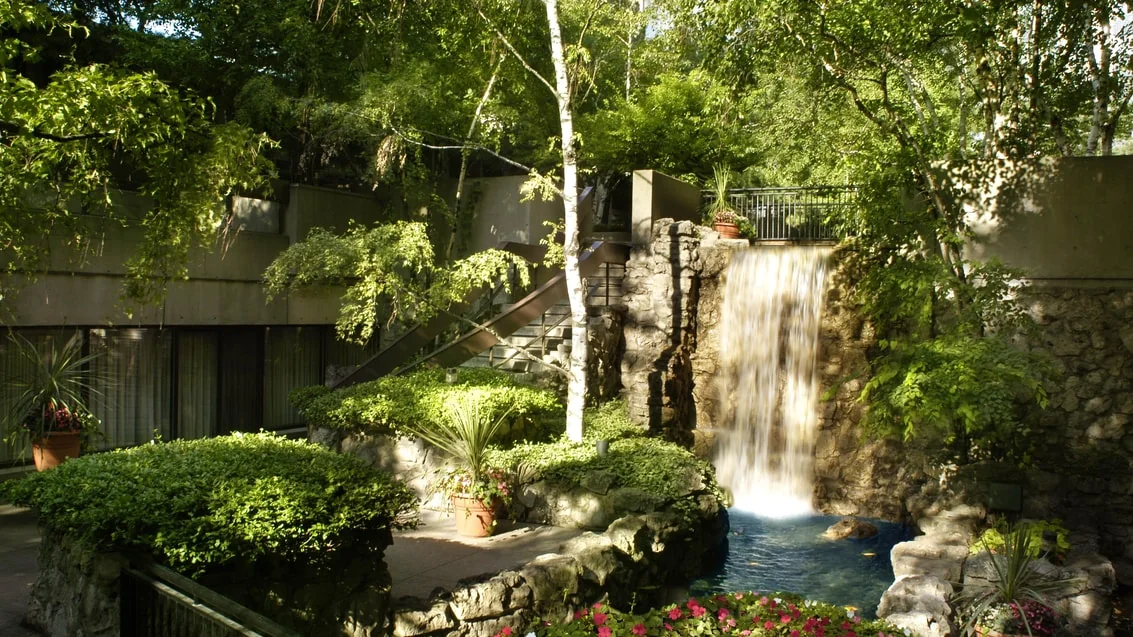
Brookfield Place is our first architectural stop. Another option is the Sheraton Centre at 123 Queen Street West, which has a waterfall garden and lobby café. Ask hotel staff which garden areas are open to visitors that day; a hotel connection does not include unrestricted amenity access.
If you want ordinary mall shopping, choose the Eaton Centre as your destination. If you want neighbourhood life, go outside. If the weather is miserable, the PATH becomes much more useful.
For a longer indoor day, pair a short walk with an activity from our rainy-day Toronto guide. The route should help the day, not consume it.
Frequently asked questions
Do I need a TTC fare to walk through the PATH?
No fare is needed for the public pedestrian passages. Entering a TTC paid area to ride transit is separate. Follow the walkway signs rather than going through fare gates to continue your walk.
Is all of the PATH underground?
No. It includes connections at different levels, including the SkyWalk. Don't treat a change of floor as proof that you have left the network.
Can I walk underground from Union to Bloor?
The current downtown PATH map does not show a continuous connection to Bloor. Suggestions to extend it that far are not directions you can use now. Use the TTC or a street route for that trip.
Does walking uphill mean I am going north?
Don't rely on that shortcut. Interior ramps and changes of level serve the buildings they connect. Check a building name, map or directional sign instead.
Can I get lunch there on a Sunday?
Check a specific restaurant before going. A passage being open does not mean its food court is trading. If food is the reason for the trip, make the restaurant your destination rather than hoping to find something underground.
Is the PATH automatically the fastest route?
No. Staying indoors can add turns, level changes and detours. For a short walk in good weather, compare the street route before committing to the tunnels.
Are there food options for a low-carb diet or allergies?
The PATH contains separate food businesses, not one shared menu. Check the current menu and ask the chosen restaurant about ingredients and preparation. You can also visit for the walk or architecture without making food part of the trip.